UN/LOCODE hub · France
FRCL9

La Chapelle-du-Lou

48.2167°, -2.0000°
413
Population
1
Transport functions

Transport Functions

Multimodal
UN/LOCODE

Hub Profile

Place type
Populated place
GeoNames
Region
Brittany
GeoNames
Population
413
GeoNames
Time zone
Europe/Paris
GeoNames
Elevation
90 m
GeoNames

Location

Location of FRCL9
Natural Earth 10m (public domain) · Brittany · FRCL9 · 48.22, -2.00GoogleOSMYandex

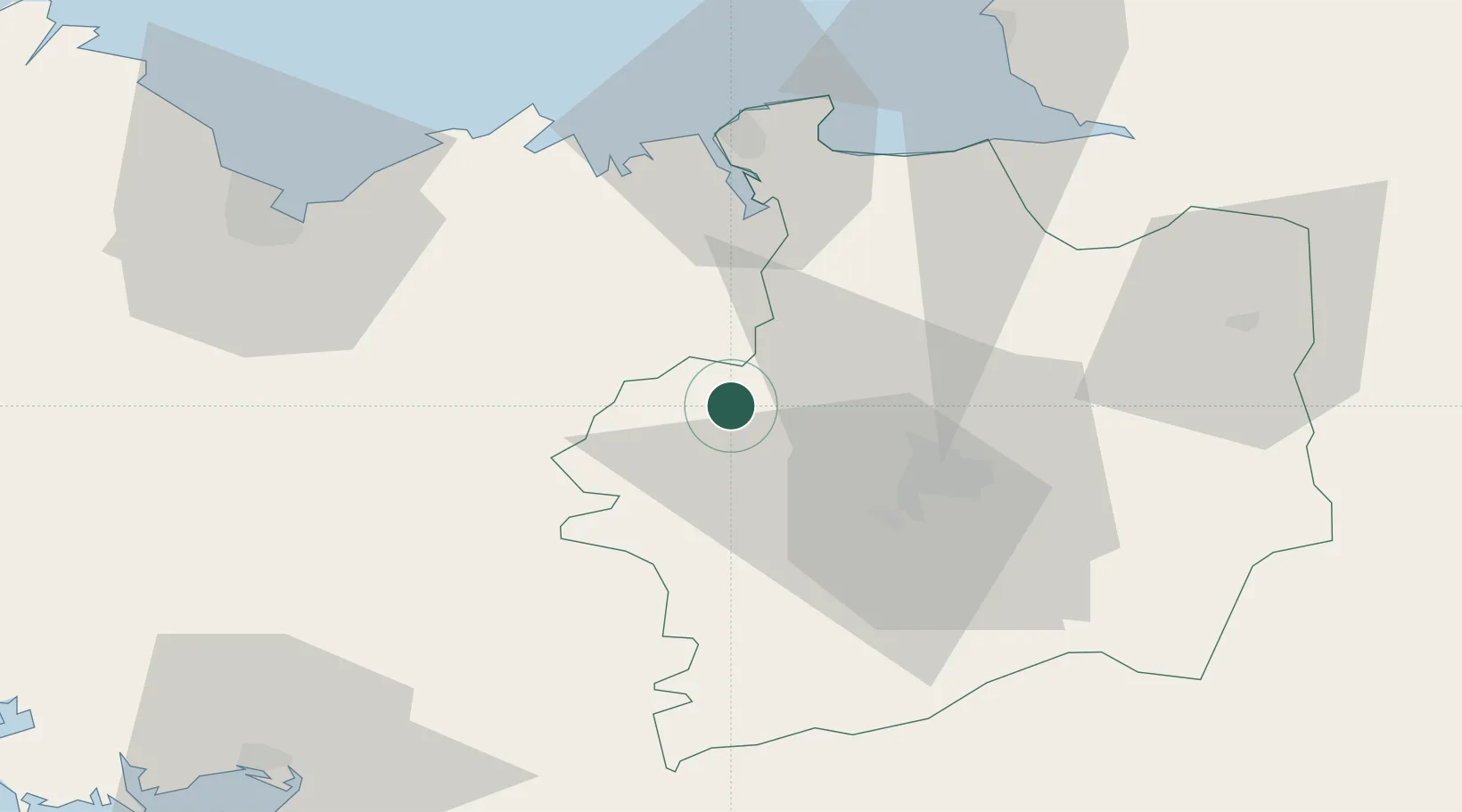
Nearby Logistics Neighbours

Cities
  1. 1Saint-M'Hervon4 km
  2. 2Irodouer5 km
  3. 3Pleumeleuc7 km
  4. 4Montfort-sur-Meu10 km
  5. 5Plumaudan18 km
Nearest neighbours — logibook spatial index (haversine) over the source coordinates
Ports
  1. 1Saint-Malo48 km
  2. 2Le Legue66 km
  3. 3Granville75 km
  4. 4Paimpol100 km
  5. 5Pontrieux101 km
Nearest neighbours — logibook spatial index (haversine) over the source coordinates
Airports
  1. 1Rennes-Saint-Jacques Airport26 km
  2. 2Dinard Pleurtuit Saint-Malo airport42 km
  3. 3Saint-Brieuc-Armor Airport73 km
  4. 4Vannes-Meucon Airport77 km
  5. 5Granville Airport81 km
Nearest neighbours — logibook spatial index (haversine) over the source coordinates
Trade Zones
  1. 1ZFU Saint-Nazaire107 km
  2. 2ZFU Nantes et Saint-Herblain113 km
  3. 3ZFU Angers133 km
  4. 4ZFU Alençon156 km
  5. 5ZFU La Guérinière, La Grâce de Dieu159 km
Nearest neighbours — logibook spatial index (haversine) over the source coordinates
DatabookThe Record of Consolidated Knowledge
France beyond logistics?
Browse databook

All Sources

LocationsUN/LOCODE
UN/LOCODE — free
LocationsGeoNames
CC BY 4.0
Portsthe NGA World Port Index
Public domain (US gov)
AirportsOurAirports
Public domain
Trade Zonesthe World Bank SEZ database
CC BY 4.0
Trade ZonesOpen Zone Map
CC BY
← France locations