UN/LOCODE hub · France
FRAVP
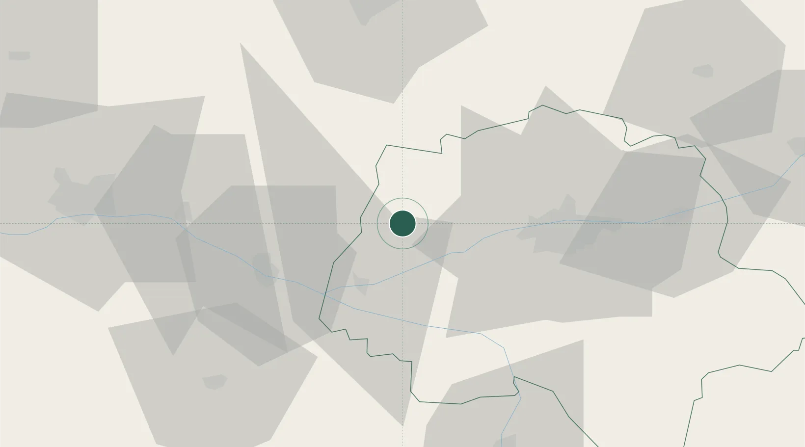
Avrillé-les-Ponceaux
47.4000°, 0.2833°
454
Population
2
Transport functions
Transport Functions
Road
Multimodal
Hub Profile
Place type
Populated place
Region
Centre-Val de Loire
Population
454
Time zone
Europe/Paris
Elevation
78 m
Location
Nearby Logistics Neighbours
Cities
- 1Hommes4 km
- 2Mazières-de-Touraine11 km
- 3Ingrandes-de-Touraine13 km
- 4Lublé13 km
- 5Restigné14 km
Ports
- 1Nantes141 km
- 2La Rochelle177 km
- 3La Pallice179 km
- 4Tonnay Charente186 km
- 5Les Sables D' Olonne187 km
Airports
- 1Tours Val de Loire Airport34 km
- 2Angers Marcé airport48 km
- 3Le Mans-Arnage Airport61 km
- 4Poitiers-Biard Airport90 km
- 5Laval-Entrammes Airport104 km
Trade Zones
- 1ZFU Le Mans66 km
- 2ZFU Angers67 km
- 3ZFU Blois77 km
- 4ZFU Alençon116 km
- 5ZFU Orléans128 km
DatabookThe Record of Consolidated Knowledge
France beyond logistics?