Transport Functions
Multimodal
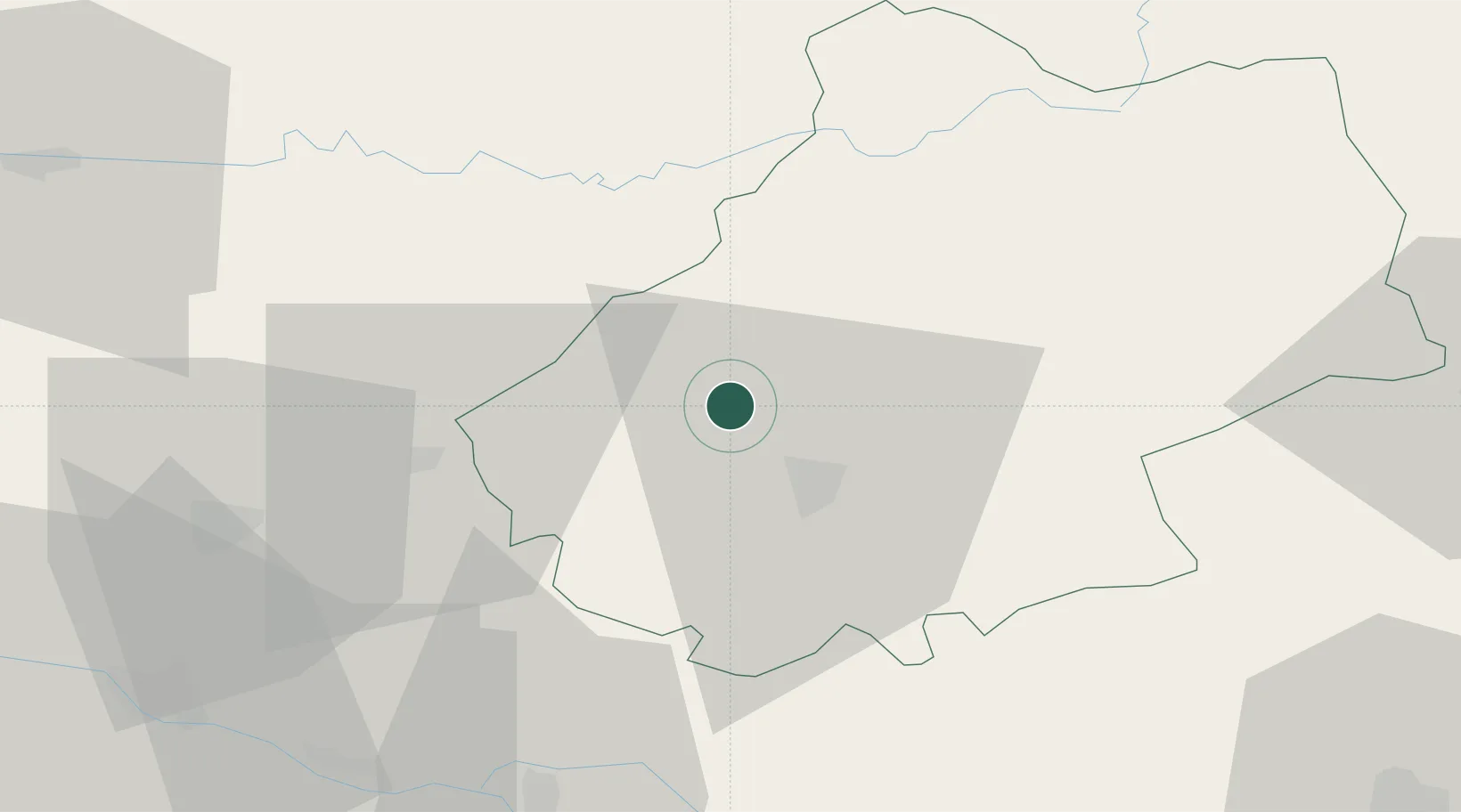
Hub Profile
Place type
Populated place
Region
Occitanie
Population
968
Time zone
Europe/Paris
Elevation
170 m
Location
Nearby Logistics Neighbours
Cities
- 1Saint-Denis-Catus4 km
- 2Mercuès7 km
- 3Douelle10 km
- 4Castelfranc11 km
- 5Goujounac11 km
Airports
Trade Zones
- 1ZFU Toulouse106 km
- 2Port de Bordeaux153 km
- 3ZFU Hauts de Garonne154 km
- 4ZFU Clermont-Ferrand194 km
- 5ZFU Béziers202 km
DatabookThe Record of Consolidated Knowledge
France beyond logistics?