Transport Functions
Rail
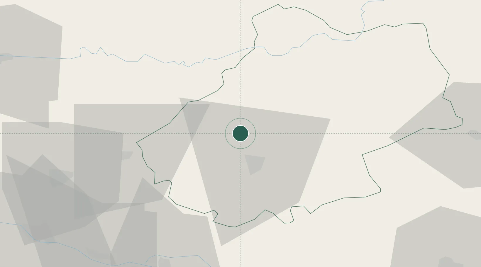
Hub Profile
Place type
Populated place
Region
Occitanie
Population
204
Time zone
Europe/Paris
Elevation
214 m
Location
Nearby Logistics Neighbours
Cities
- 1Catus4 km
- 2Mercuès7 km
- 3Bellefont-La Rauze10 km
- 4Douelle11 km
- 5Cahors14 km
Ports
- 1Bordeaux158 km
- 2Ambes159 km
- 3Blaye173 km
- 4Pauillac182 km
- 5Port-La-Nouvelle219 km
Airports
Trade Zones
- 1ZFU Toulouse107 km
- 2Port de Bordeaux156 km
- 3ZFU Hauts de Garonne158 km
- 4ZFU Clermont-Ferrand190 km
- 5ZFU Béziers201 km
DatabookThe Record of Consolidated Knowledge
France beyond logistics?