Transport Functions
Multimodal
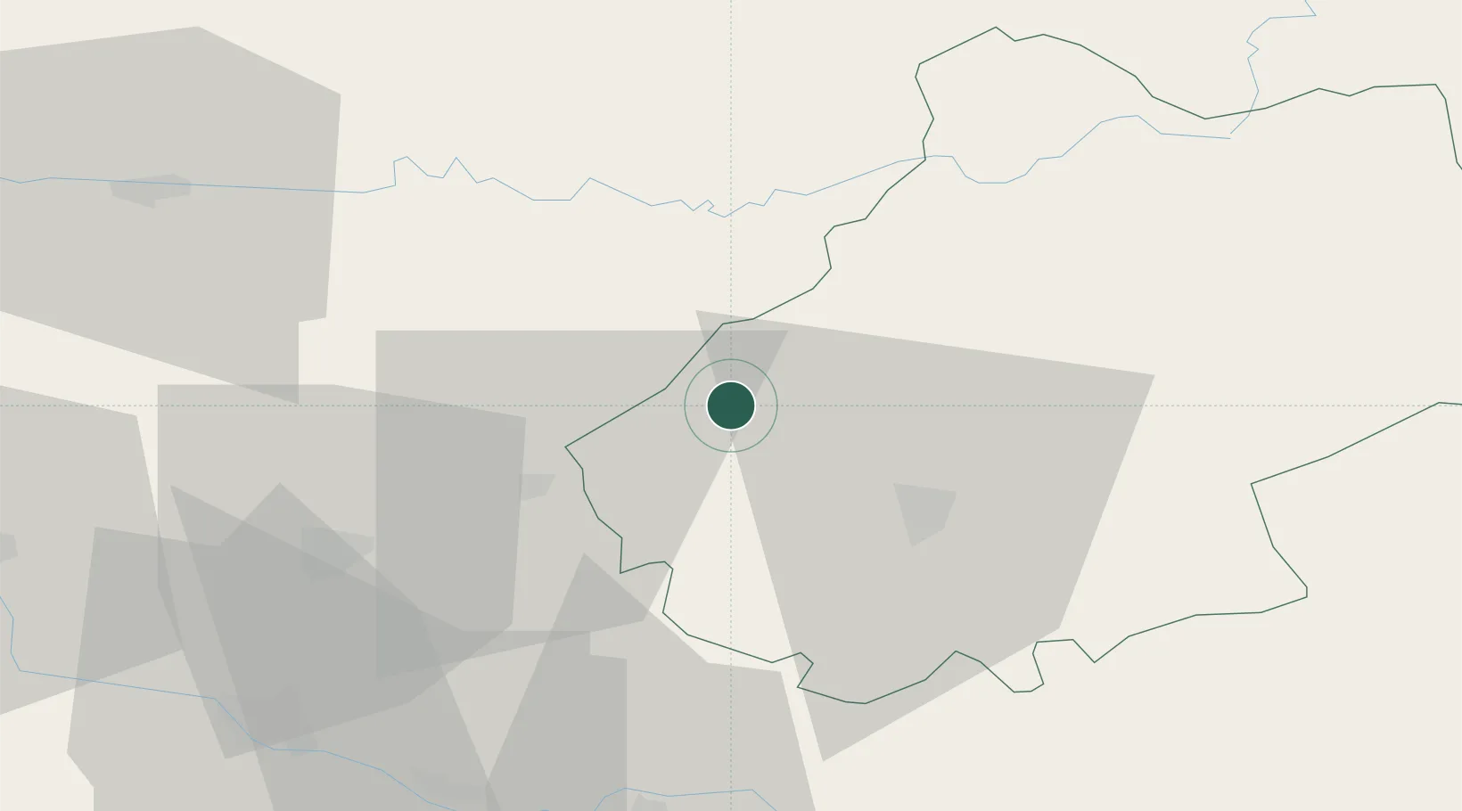
Hub Profile
Place type
Populated place
Region
Occitanie
Population
218
Time zone
Europe/Paris
Elevation
224 m
Location
Nearby Logistics Neighbours
Cities
- 1Castelfranc9 km
- 2Pescadoires10 km
- 3Catus11 km
- 4Duravel13 km
- 5Grézels13 km
Airports
Trade Zones
- 1ZFU Toulouse111 km
- 2Port de Bordeaux142 km
- 3ZFU Hauts de Garonne143 km
- 4ZFU Clermont-Ferrand199 km
- 5ZFU Béziers213 km
DatabookThe Record of Consolidated Knowledge
France beyond logistics?