Transport Functions
Road
Multimodal
Hub Profile
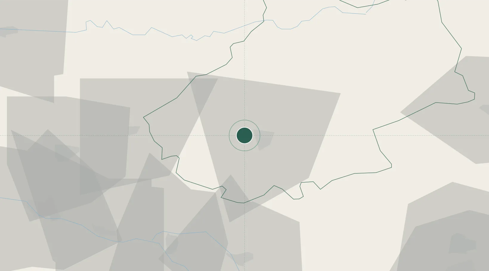
Place type
Populated place
Region
Occitanie
Population
806
Time zone
Europe/Paris
Elevation
114 m
Location
Nearby Logistics Neighbours
Cities
- 1Mercuès4 km
- 2Trespoux-Rassiels6 km
- 3Cahors6 km
- 4Catus10 km
- 5Bellefont-La Rauze11 km
Ports
- 1Bordeaux159 km
- 2Ambes162 km
- 3Blaye177 km
- 4Pauillac186 km
- 5Port-La-Nouvelle211 km
Airports
Trade Zones
- 1ZFU Toulouse96 km
- 2Port de Bordeaux158 km
- 3ZFU Hauts de Garonne159 km
- 4ZFU Béziers194 km
- 5ZFU Clermont-Ferrand199 km
DatabookThe Record of Consolidated Knowledge
France beyond logistics?