Transport Functions
Rail
Road
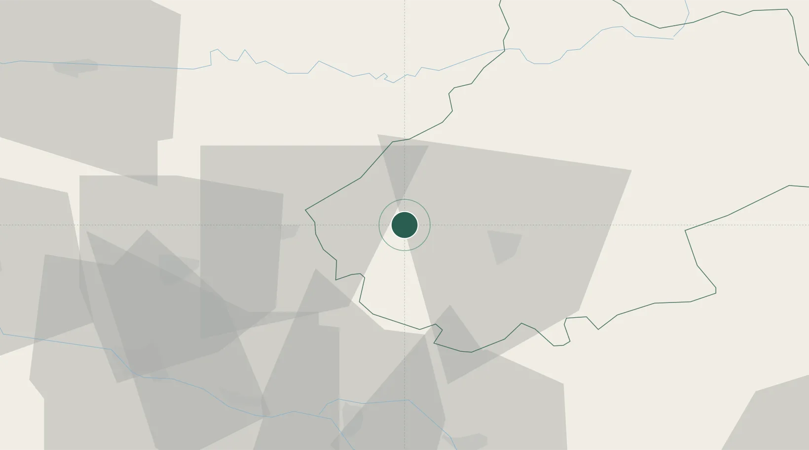
Hub Profile
Place type
Populated place
Region
Occitanie
Population
434
Time zone
Europe/Paris
Elevation
101 m
Location
Nearby Logistics Neighbours
Cities
- 1Pescadoires4 km
- 2Grézels5 km
- 3Le Boulvé8 km
- 4Floressas9 km
- 5Fargues9 km
Airports
Trade Zones
- 1ZFU Toulouse101 km
- 2Port de Bordeaux146 km
- 3ZFU Hauts de Garonne147 km
- 4ZFU Clermont-Ferrand204 km
- 5ZFU Béziers206 km
DatabookThe Record of Consolidated Knowledge
France beyond logistics?