Transport Functions
Multimodal
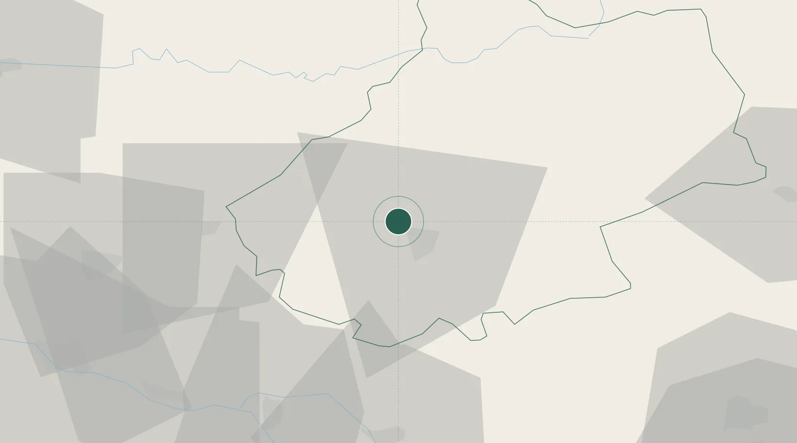
Hub Profile
Place type
Populated place
Region
Occitanie
Population
799
Time zone
Europe/Paris
Elevation
149 m
Location
Nearby Logistics Neighbours
Cities
- 1Douelle4 km
- 2Catus7 km
- 3Cahors7 km
- 4Saint-Denis-Catus7 km
- 5Bellefont-La Rauze8 km
Ports
- 1Bordeaux160 km
- 2Ambes162 km
- 3Blaye176 km
- 4Pauillac185 km
- 5Port-La-Nouvelle213 km
Airports
Trade Zones
- 1ZFU Toulouse100 km
- 2Port de Bordeaux158 km
- 3ZFU Hauts de Garonne159 km
- 4ZFU Clermont-Ferrand195 km
- 5ZFU Béziers196 km
DatabookThe Record of Consolidated Knowledge
France beyond logistics?