Transport Functions
Rail
Road
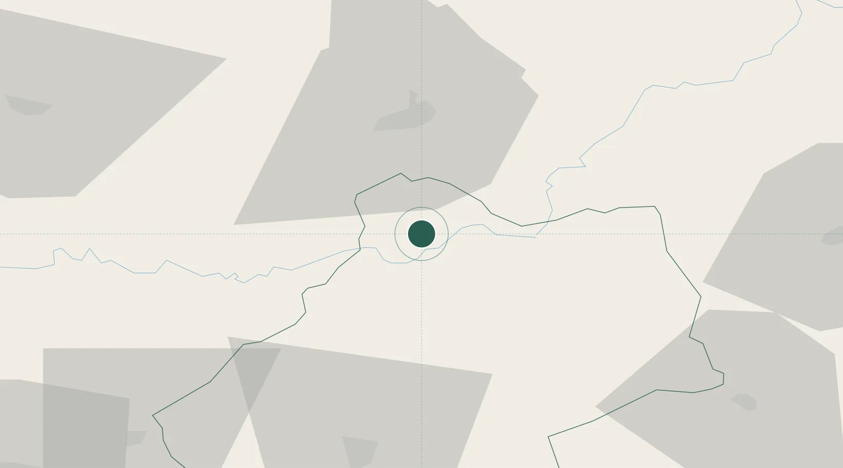
Hub Profile
Place type
Populated place
Region
Occitanie
Population
391
Time zone
Europe/Paris
Elevation
241 m
Location
Nearby Logistics Neighbours
Airports
Trade Zones
- 1ZFU Toulouse146 km
- 2ZFU Clermont-Ferrand153 km
- 3Port de Bordeaux166 km
- 4ZFU Hauts de Garonne169 km
- 5ZFU Béziers220 km
DatabookThe Record of Consolidated Knowledge
France beyond logistics?