UN/LOCODE hub · France
FRTRU
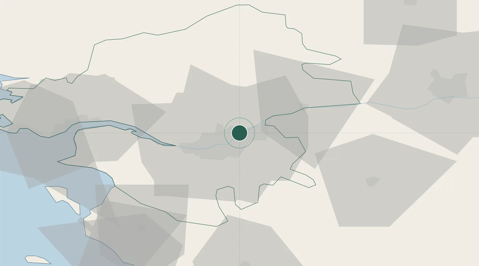
Thouaré-sur-Loire
47.2667°, -1.4500°
7,172
Population
2
Transport functions
Transport Functions
Rail
Road
Hub Profile
Place type
Populated place
Region
Pays de la Loire
Population
7,172
Time zone
Europe/Paris
Elevation
20 m
Location
Nearby Logistics Neighbours
Cities
- 1Sainte-Luce-sur-Loire4 km
- 2Saint-Sébastien-sur-Loire8 km
- 3Rezé12 km
- 4Barbechat13 km
- 5La Chapelle-Heulin13 km
Ports
- 1Nantes12 km
- 2Donges47 km
- 3Montoir52 km
- 4St Nazaire57 km
- 5Les Sables D' Olonne89 km
Airports
Trade Zones
- 1ZFU Nantes et Saint-Herblain20 km
- 2ZFU Saint-Nazaire62 km
- 3ZFU Angers69 km
- 4ZFU La Rochelle124 km
- 5ZFU Le Mans142 km
DatabookThe Record of Consolidated Knowledge
France beyond logistics?