Transport Functions
Rail
Road
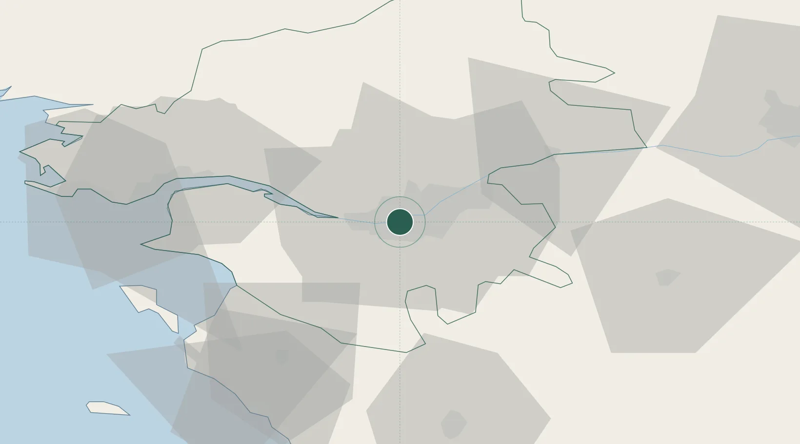
Hub Profile
Place type
Populated place
Region
Pays de la Loire
Population
39,248
Time zone
Europe/Paris
Elevation
15 m
Location
Nearby Logistics Neighbours
Cities
- 1Bouguenais4 km
- 2Saint-Sébastien-sur-Loire5 km
- 3Sainte-Luce-sur-Loire8 km
- 4Indre8 km
- 5Bouaye12 km
Ports
- 1Nantes0 km
- 2Donges39 km
- 3Montoir44 km
- 4St Nazaire49 km
- 5Les Sables D' Olonne80 km
Airports
Trade Zones
- 1ZFU Nantes et Saint-Herblain11 km
- 2ZFU Saint-Nazaire54 km
- 3ZFU Angers79 km
- 4ZFU La Rochelle119 km
- 5ZFU Le Mans154 km
DatabookThe Record of Consolidated Knowledge
France beyond logistics?