UN/LOCODE hub · France
FRSSK

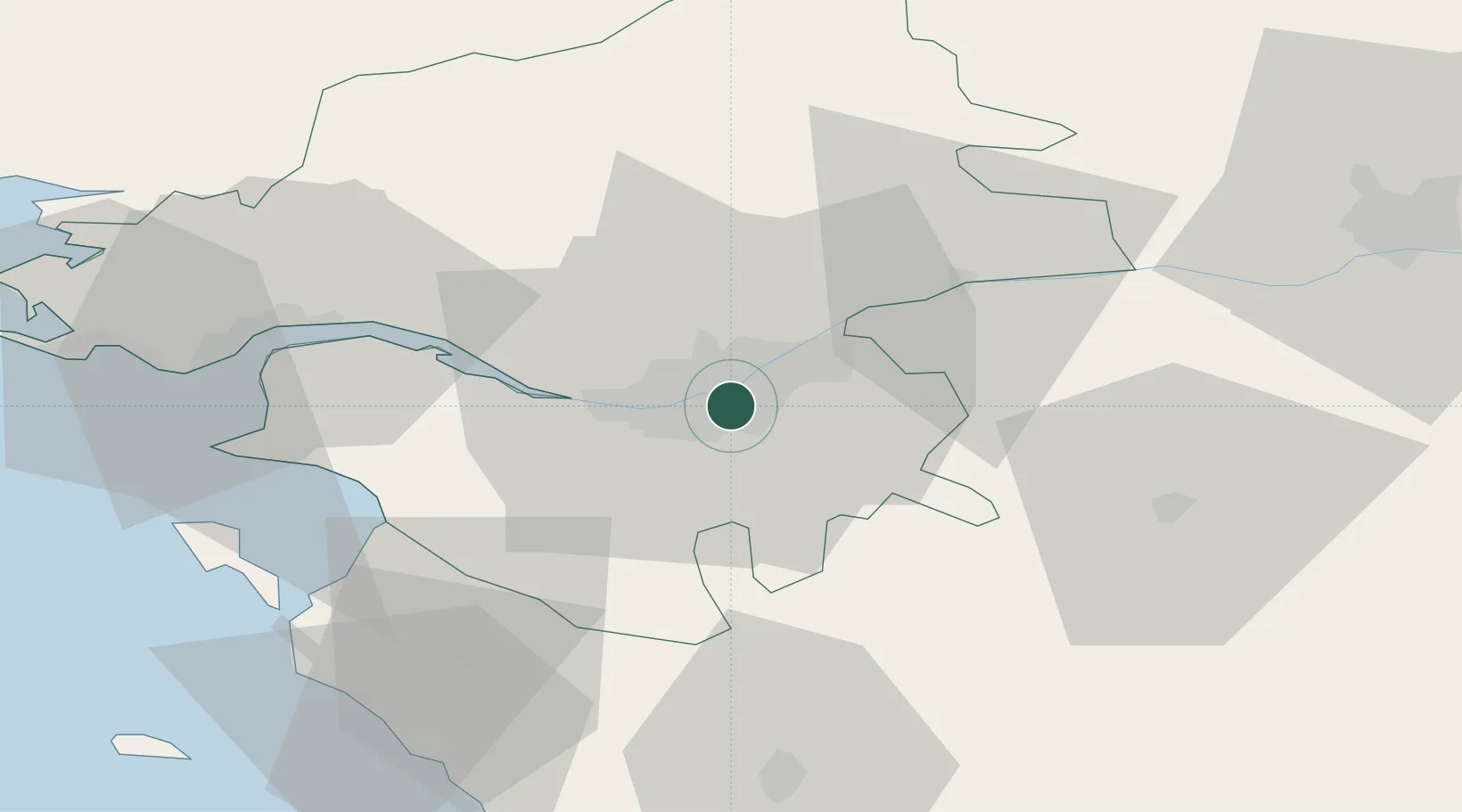
Saint-Sébastien-sur-Loire

47.2000°, -1.5000°
29,238
Population
3
Transport functions

Transport Functions

Port
Rail
Road
UN/LOCODE

Hub Profile

Place type
Populated place
GeoNames
Region
Pays de la Loire
GeoNames
Population
29,238
GeoNames
Time zone
Europe/Paris
GeoNames
Elevation
17 m
GeoNames

Location

Location of FRSSK
Natural Earth 10m (public domain) · Pays de la Loire · FRSSK · 47.20, -1.50GoogleOSMYandex

Nearby Logistics Neighbours

Cities
  1. 1Rezé5 km
  2. 2Sainte-Luce-sur-Loire6 km
  3. 3Thouaré-sur-Loire8 km
  4. 4Bouguenais9 km
  5. 5Indre13 km
Nearest neighbours — logibook spatial index (haversine) over the source coordinates
Ports
  1. 1Nantes5 km
  2. 2Donges44 km
  3. 3Montoir49 km
  4. 4St Nazaire54 km
  5. 5Les Sables D' Olonne81 km
Nearest neighbours — logibook spatial index (haversine) over the source coordinates
Airports
  1. 1Nantes Atlantique Airport10 km
  2. 2Saint-Nazaire-Montoir Airport51 km
  3. 3La Roche-sur-Yon Les Ajoncs Airport56 km
  4. 4Beauvoir Fromentine Airfield56 km
  5. 5La Baule-Escoublac Airport65 km
Nearest neighbours — logibook spatial index (haversine) over the source coordinates
Trade Zones
  1. 1ZFU Nantes et Saint-Herblain15 km
  2. 2ZFU Saint-Nazaire59 km
  3. 3ZFU Angers75 km
  4. 4ZFU La Rochelle118 km
  5. 5ZFU Le Mans150 km
Nearest neighbours — logibook spatial index (haversine) over the source coordinates
DatabookThe Record of Consolidated Knowledge
France beyond logistics?
Browse databook

All Sources

LocationsUN/LOCODE
UN/LOCODE — free
LocationsGeoNames
CC BY 4.0
Portsthe NGA World Port Index
Public domain (US gov)
AirportsOurAirports
Public domain
Trade Zonesthe World Bank SEZ database
CC BY 4.0
Trade ZonesOpen Zone Map
CC BY
← France locations