Transport Functions
Multimodal
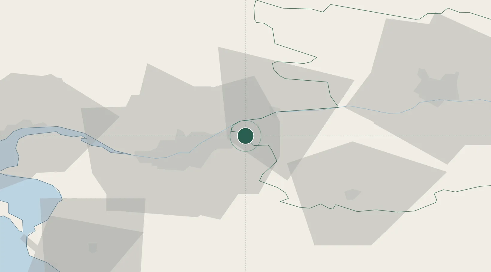
Hub Profile
Place type
Populated place
Region
Pays de la Loire
Population
1,140
Time zone
Europe/Paris
Elevation
72 m
Location
Nearby Logistics Neighbours
Cities
- 1Landemont3 km
- 2La Remaudière6 km
- 3Saint-Julien-de-Chédon7 km
- 4Saint-Christophe-la-Couperie7 km
- 5Oudon7 km
Ports
- 1Nantes23 km
- 2Donges59 km
- 3Montoir64 km
- 4St Nazaire69 km
- 5Les Sables D' Olonne96 km
Airports
Trade Zones
- 1ZFU Nantes et Saint-Herblain32 km
- 2ZFU Angers56 km
- 3ZFU Saint-Nazaire75 km
- 4ZFU La Rochelle125 km
- 5ZFU Le Mans131 km
DatabookThe Record of Consolidated Knowledge
France beyond logistics?