UN/LOCODE hub · France
FRIRE

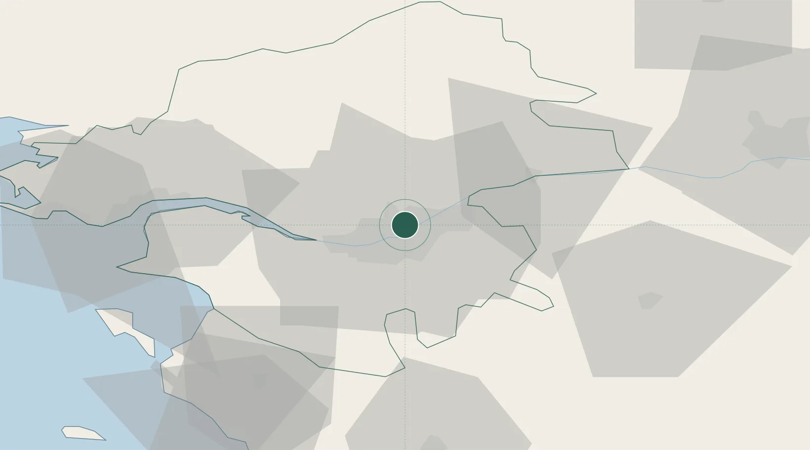
Sainte-Luce-sur-Loire

47.2500°, -1.5000°
13,056
Population
2
Transport functions

Transport Functions

Rail
Road
UN/LOCODE

Hub Profile

Place type
Populated place
GeoNames
Region
Pays de la Loire
GeoNames
Population
13,056
GeoNames
Time zone
Europe/Paris
GeoNames
Elevation
18 m
GeoNames

Location

Location of FRIRE
Natural Earth 10m (public domain) · Pays de la Loire · FRIRE · 47.25, -1.50GoogleOSMYandex

Nearby Logistics Neighbours

Cities
  1. 1Thouaré-sur-Loire4 km
  2. 2Saint-Sébastien-sur-Loire6 km
  3. 3Rezé8 km
  4. 4Bouguenais12 km
  5. 5Treillières14 km
Nearest neighbours — logibook spatial index (haversine) over the source coordinates
Ports
  1. 1Nantes8 km
  2. 2Donges43 km
  3. 3Montoir48 km
  4. 4St Nazaire53 km
  5. 5Les Sables D' Olonne87 km
Nearest neighbours — logibook spatial index (haversine) over the source coordinates
Airports
  1. 1Nantes Atlantique Airport14 km
  2. 2Saint-Nazaire-Montoir Airport50 km
  3. 3Beauvoir Fromentine Airfield60 km
  4. 4La Roche-sur-Yon Les Ajoncs Airport62 km
  5. 5La Baule-Escoublac Airport64 km
Nearest neighbours — logibook spatial index (haversine) over the source coordinates
Trade Zones
  1. 1ZFU Nantes et Saint-Herblain15 km
  2. 2ZFU Saint-Nazaire59 km
  3. 3ZFU Angers73 km
  4. 4ZFU La Rochelle123 km
  5. 5ZFU Le Mans147 km
Nearest neighbours — logibook spatial index (haversine) over the source coordinates
DatabookThe Record of Consolidated Knowledge
France beyond logistics?
Browse databook

All Sources

LocationsUN/LOCODE
UN/LOCODE — free
LocationsGeoNames
CC BY 4.0
Portsthe NGA World Port Index
Public domain (US gov)
AirportsOurAirports
Public domain
Trade Zonesthe World Bank SEZ database
CC BY 4.0
Trade ZonesOpen Zone Map
CC BY
← France locations