UN/LOCODE hub · France
FRLHE
La Chapelle-Heulin
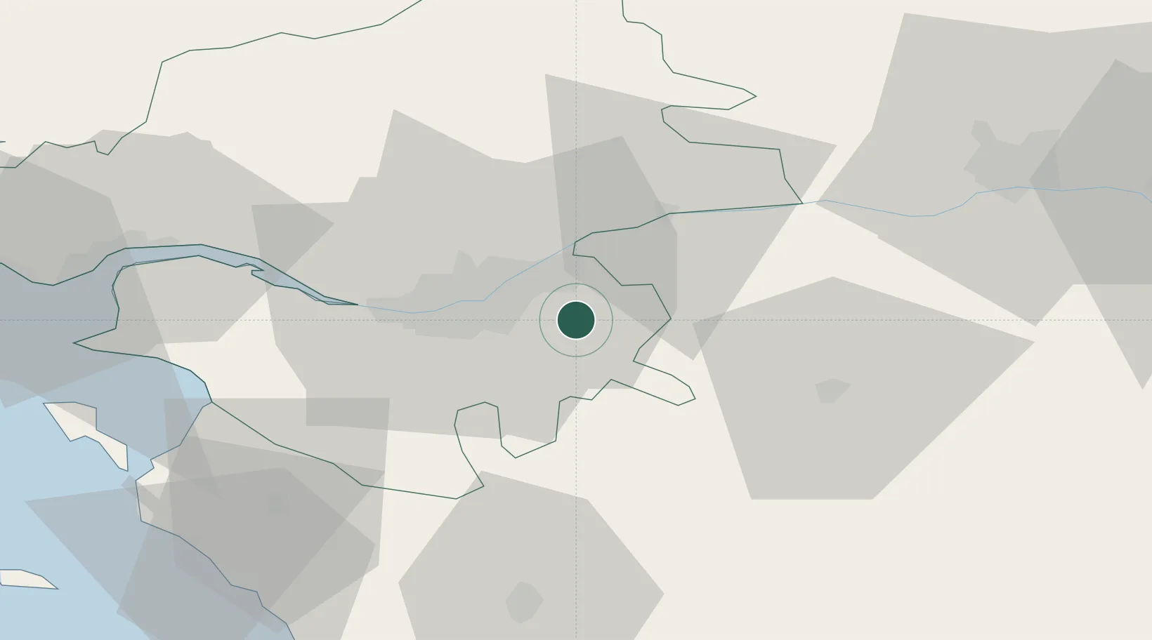
47.1833°, -1.3333°
1,997
Population
2
Transport functions
Transport Functions
Road
Multimodal
Hub Profile
Place type
Populated place
Region
Pays de la Loire
Population
1,997
Time zone
Europe/Paris
Elevation
15 m
Location
Nearby Logistics Neighbours
Cities
- 1Monnières6 km
- 2La Remaudière8 km
- 3Saint-Lumine-de-Clisson11 km
- 4Landemont11 km
- 5La Regrippière11 km
Ports
- 1Nantes18 km
- 2Donges57 km
- 3Montoir62 km
- 4St Nazaire66 km
- 5Les Sables D' Olonne84 km
Airports
Trade Zones
- 1ZFU Nantes et Saint-Herblain28 km
- 2ZFU Angers65 km
- 3ZFU Saint-Nazaire72 km
- 4ZFU La Rochelle114 km
- 5ZFU Le Mans141 km
DatabookThe Record of Consolidated Knowledge
France beyond logistics?