UN/LOCODE hub · France
FRTNA

Briantes

46.5500°, 2.0167°
554
Population
1
Transport functions

Transport Functions

Multimodal
UN/LOCODE

Hub Profile

Place type
Populated place
GeoNames
Region
Centre-Val de Loire
GeoNames
Population
554
GeoNames
Time zone
Europe/Paris
GeoNames
Elevation
227 m
GeoNames

Location

Location of FRTNA
Natural Earth 10m (public domain) · Centre-Val de Loire · FRTNA · 46.55, 2.02GoogleOSMYandex

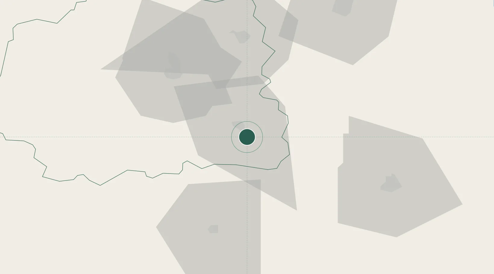
Nearby Logistics Neighbours

Cities
  1. 1La Châtre5 km
  2. 2Châteaumeillant14 km
  3. 3Maisonnais17 km
  4. 4La Forêt-du-Temple17 km
  5. 5Mouhers18 km
Nearest neighbours — logibook spatial index (haversine) over the source coordinates
Ports
  1. 1Tonnay Charente235 km
  2. 2Rochefort238 km
  3. 3La Rochelle247 km
  4. 4La Pallice252 km
  5. 5Blaye261 km
Nearest neighbours — logibook spatial index (haversine) over the source coordinates
Airports
  1. 1Châteauroux Déols airport41 km
  2. 2Montluçon-Guéret Airport45 km
  3. 3Bourges airport63 km
  4. 4Avord (BA 702) Air Base73 km
  5. 5Nevers-Fourchambault Airport98 km
Nearest neighbours — logibook spatial index (haversine) over the source coordinates
Trade Zones
  1. 1ZFU Bourges63 km
  2. 2ZFU Clermont-Ferrand118 km
  3. 3ZFU Blois128 km
  4. 4ZFU Orléans148 km
  5. 5ZFU Sens206 km
Nearest neighbours — logibook spatial index (haversine) over the source coordinates
DatabookThe Record of Consolidated Knowledge
France beyond logistics?
Browse databook

All Sources

LocationsUN/LOCODE
UN/LOCODE — free
LocationsGeoNames
CC BY 4.0
Portsthe NGA World Port Index
Public domain (US gov)
AirportsOurAirports
Public domain
Trade Zonesthe World Bank SEZ database
CC BY 4.0
Trade ZonesOpen Zone Map
CC BY
← France locations