Transport Functions
Rail
Road
Hub Profile
Place type
District seat
Region
Centre-Val de Loire
Population
4,687
Time zone
Europe/Paris
Elevation
221 m
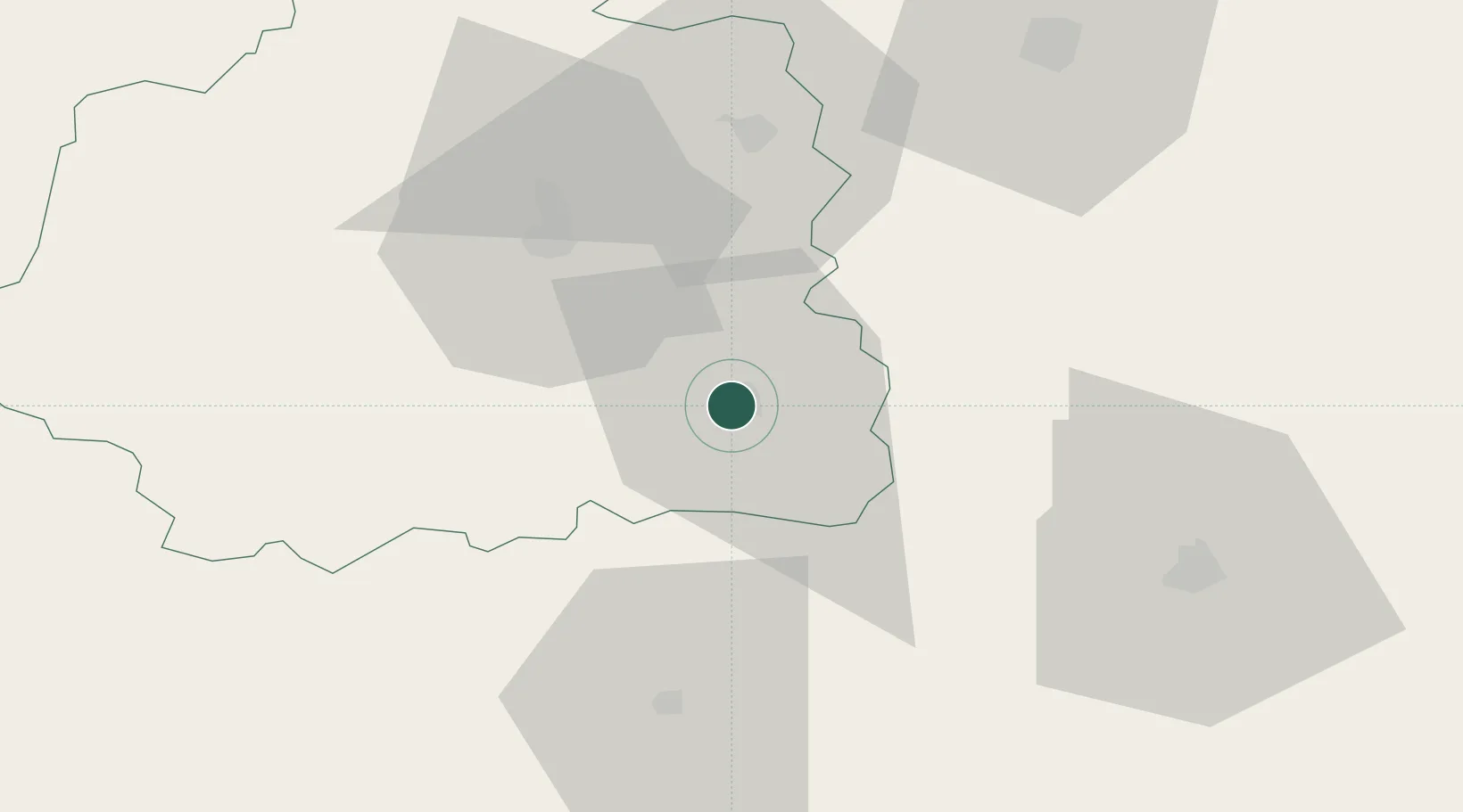
Location
Nearby Logistics Neighbours
Cities
- 1Briantes5 km
- 2Mouhers14 km
- 3Châteaumeillant18 km
- 4Maisonnais19 km
- 5La Forêt-du-Temple19 km
Ports
- 1Tonnay Charente232 km
- 2Rochefort236 km
- 3La Rochelle244 km
- 4La Pallice249 km
- 5Le Verdon260 km
Airports
- 1Châteauroux Déols airport36 km
- 2Montluçon-Guéret Airport50 km
- 3Bourges airport61 km
- 4Avord (BA 702) Air Base73 km
- 5Nevers-Fourchambault Airport99 km
Trade Zones
- 1ZFU Bourges62 km
- 2ZFU Blois123 km
- 3ZFU Clermont-Ferrand123 km
- 4ZFU Orléans144 km
- 5ZFU Sens204 km
DatabookThe Record of Consolidated Knowledge
France beyond logistics?