Transport Functions
Multimodal
Hub Profile
Place type
Populated place
Region
Centre-Val de Loire
Population
261
Time zone
Europe/Paris
Elevation
238 m
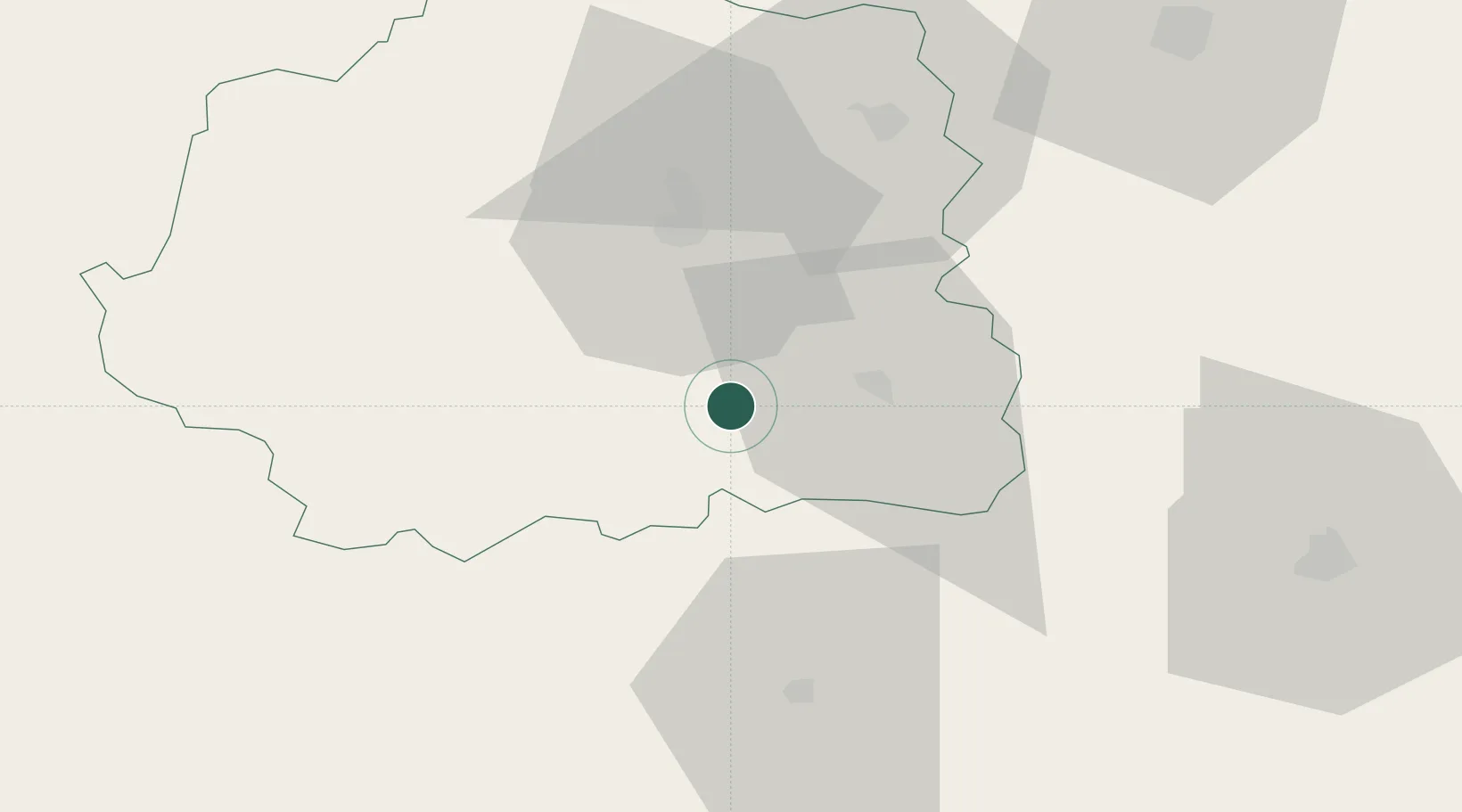
Location
Nearby Logistics Neighbours
Cities
- 1La Châtre14 km
- 2Briantes18 km
- 3La Forêt-du-Temple19 km
- 4La Cueille20 km
- 5Argenton-sur-Creuse21 km
Ports
- 1Tonnay Charente218 km
- 2Rochefort222 km
- 3La Rochelle230 km
- 4La Pallice234 km
- 5Le Verdon246 km
Airports
- 1Châteauroux Déols airport33 km
- 2Montluçon-Guéret Airport59 km
- 3Bourges airport71 km
- 4Avord (BA 702) Air Base84 km
- 5Limoges Airport91 km
Trade Zones
- 1ZFU Bourges70 km
- 2ZFU Blois119 km
- 3ZFU Clermont-Ferrand132 km
- 4ZFU Orléans145 km
- 5ZFU Le Mans201 km
DatabookThe Record of Consolidated Knowledge
France beyond logistics?