Transport Functions
Multimodal
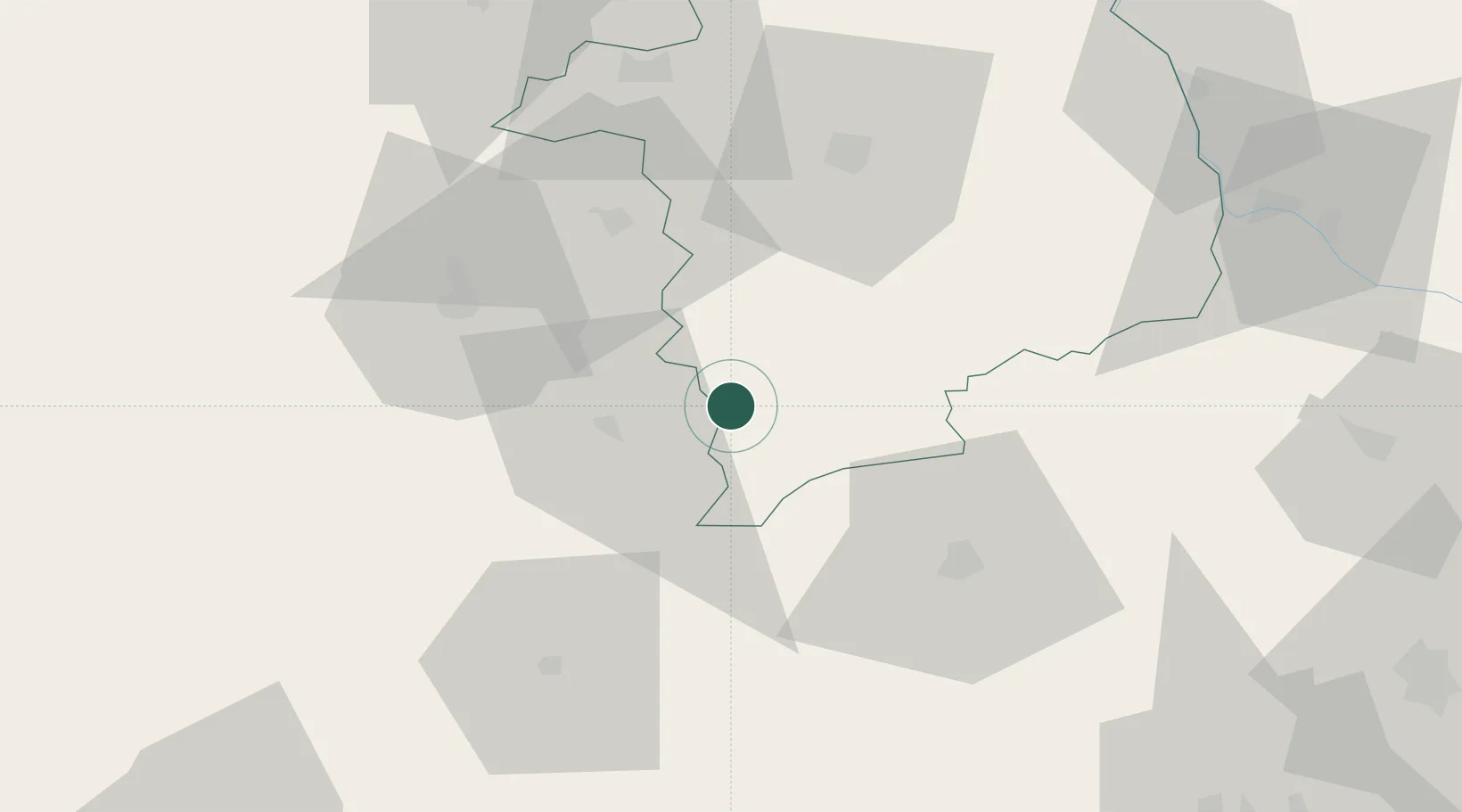
Hub Profile
Place type
Populated place
Region
Centre-Val de Loire
Population
229
Time zone
Europe/Paris
Elevation
232 m
Location
Nearby Logistics Neighbours
Cities
- 1Châteaumeillant9 km
- 2Briantes17 km
- 3Arcomps19 km
- 4La Châtre19 km
- 5Venesmes24 km
Ports
- 1Tonnay Charente251 km
- 2Rochefort254 km
- 3La Rochelle263 km
- 4La Pallice267 km
- 5Blaye278 km
Airports
- 1Châteauroux Déols airport44 km
- 2Montluçon-Guéret Airport47 km
- 3Bourges airport49 km
- 4Avord (BA 702) Air Base57 km
- 5Nevers-Fourchambault Airport81 km
Trade Zones
- 1ZFU Bourges50 km
- 2ZFU Clermont-Ferrand116 km
- 3ZFU Blois127 km
- 4ZFU Orléans141 km
- 5ZFU Sens191 km
DatabookThe Record of Consolidated Knowledge
France beyond logistics?