Transport Functions
Multimodal
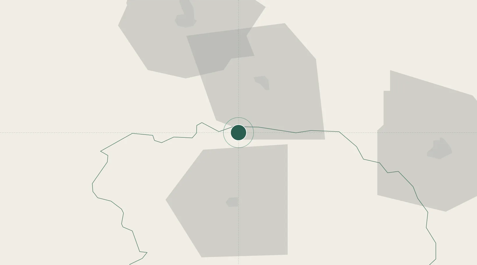
Hub Profile
Place type
Populated place
Region
Nouvelle-Aquitaine
Population
150
Time zone
Europe/Paris
Elevation
400 m
Location
Nearby Logistics Neighbours
Cities
- 1Chéniers9 km
- 2Briantes17 km
- 3Mouhers19 km
- 4La Châtre19 km
- 5Dun-le-Palestel22 km
Ports
- 1Tonnay Charente222 km
- 2Rochefort226 km
- 3La Rochelle236 km
- 4La Pallice241 km
- 5Ambes245 km
Airports
- 1Montluçon-Guéret Airport42 km
- 2Châteauroux Déols airport51 km
- 3Bourges airport80 km
- 4Limoges Airport83 km
- 5Avord (BA 702) Air Base90 km
Trade Zones
- 1ZFU Bourges80 km
- 2ZFU Clermont-Ferrand115 km
- 3ZFU Blois138 km
- 4ZFU Orléans162 km
- 5ZFU Le Mans220 km
DatabookThe Record of Consolidated Knowledge
France beyond logistics?