Transport Functions
Rail
Road
Multimodal
Hub Profile
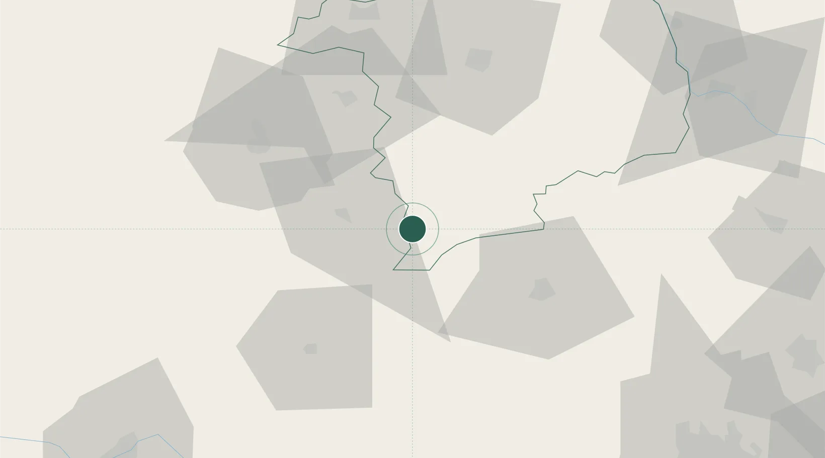
Place type
Populated place
Region
Centre-Val de Loire
Population
2,089
Time zone
Europe/Paris
Elevation
241 m
Location
Nearby Logistics Neighbours
Cities
- 1Maisonnais9 km
- 2Briantes14 km
- 3La Châtre18 km
- 4Arcomps23 km
- 5La Forêt-du-Temple27 km
Ports
- 1Tonnay Charente248 km
- 2Rochefort252 km
- 3La Rochelle261 km
- 4La Pallice266 km
- 5Ambes272 km
Airports
- 1Montluçon-Guéret Airport39 km
- 2Châteauroux Déols airport50 km
- 3Bourges airport58 km
- 4Avord (BA 702) Air Base65 km
- 5Nevers-Fourchambault Airport86 km
Trade Zones
- 1ZFU Bourges60 km
- 2ZFU Clermont-Ferrand109 km
- 3ZFU Blois135 km
- 4ZFU Orléans150 km
- 5ZFU Sens200 km
DatabookThe Record of Consolidated Knowledge
France beyond logistics?