Transport Functions
Port
Rail
Road
Airport
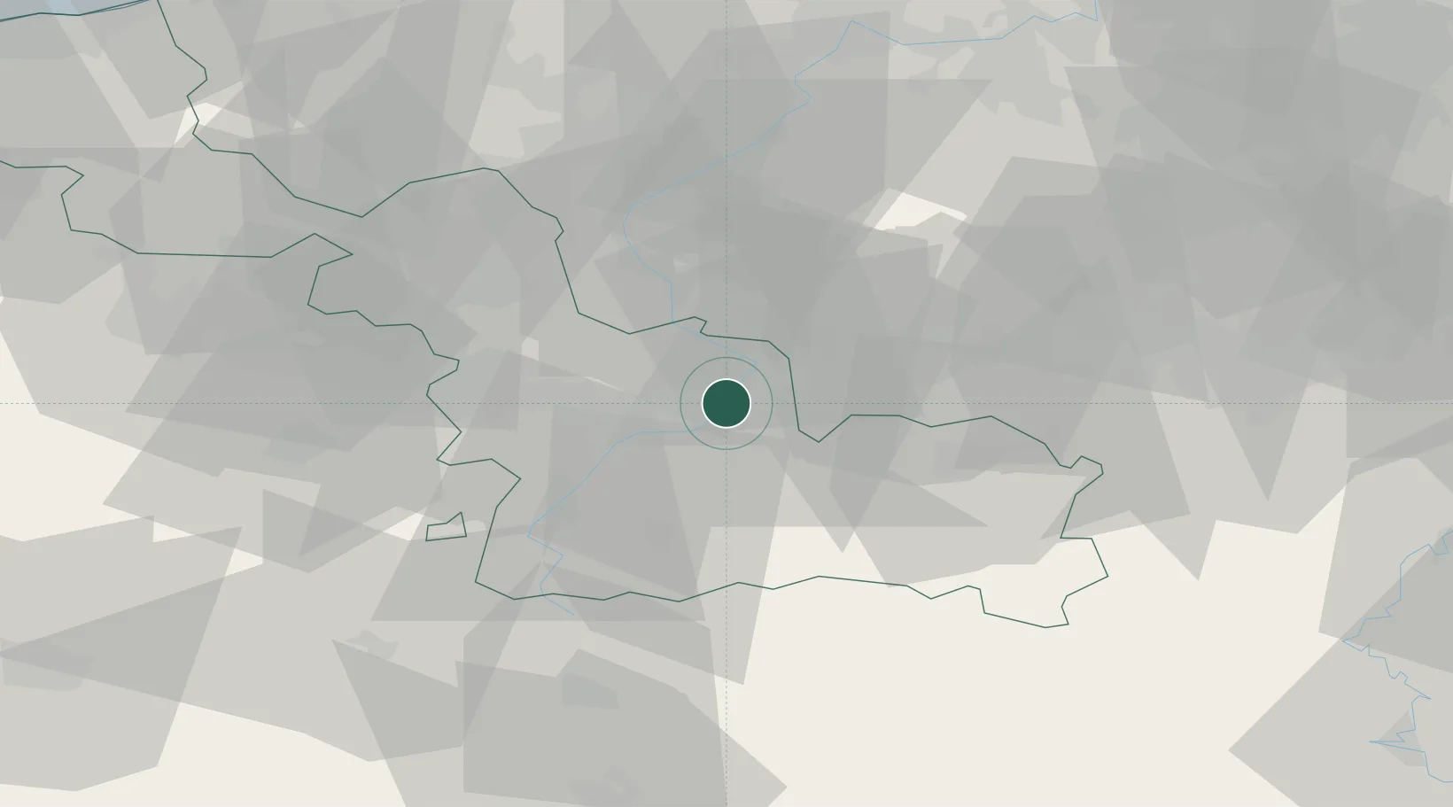
Hub Profile
Place type
District seat
Region
Hauts-de-France
Population
44,821
Time zone
Europe/Paris
Elevation
29 m
Location
Nearby Logistics Neighbours
Cities
- 1Aulnoy4 km
- 2Marly4 km
- 3Escautpont6 km
- 4Jenlain8 km
- 5Fresnes-sur-Escaut8 km
Ports
- 1Ghent79 km
- 2Bruxelles80 km
- 3Bruges99 km
- 4Nieuwpoort102 km
- 5Oostende106 km
Airports
DatabookThe Record of Consolidated Knowledge
France beyond logistics?