Transport Functions
Port
Road
Hub Profile
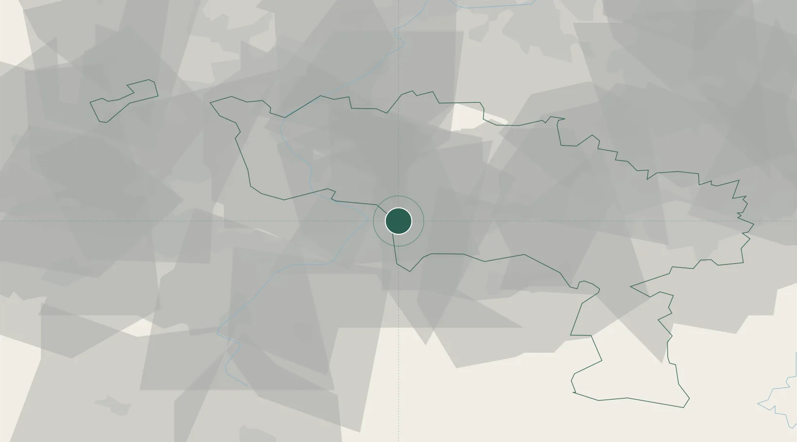
Place type
Populated place
Region
Wallonia
Population
6,390
Time zone
Europe/Brussels
Elevation
19 m
Location
Nearby Logistics Neighbours
Cities
- 1Pommeroeul3 km
- 2Quiévrechain4 km
- 3Thulin5 km
- 4Harchies6 km
- 5Fresnes-sur-Escaut6 km
Ports
- 1Bruxelles68 km
- 2Ghent71 km
- 3Bruges94 km
- 4Nieuwpoort101 km
- 5Antwerpen101 km
Airports
DatabookThe Record of Consolidated Knowledge
Belgium beyond logistics?