Transport Functions
Rail
Road
Hub Profile
Place type
Populated place
Region
Hauts-de-France
Population
6,201
Time zone
Europe/Paris
Elevation
36 m
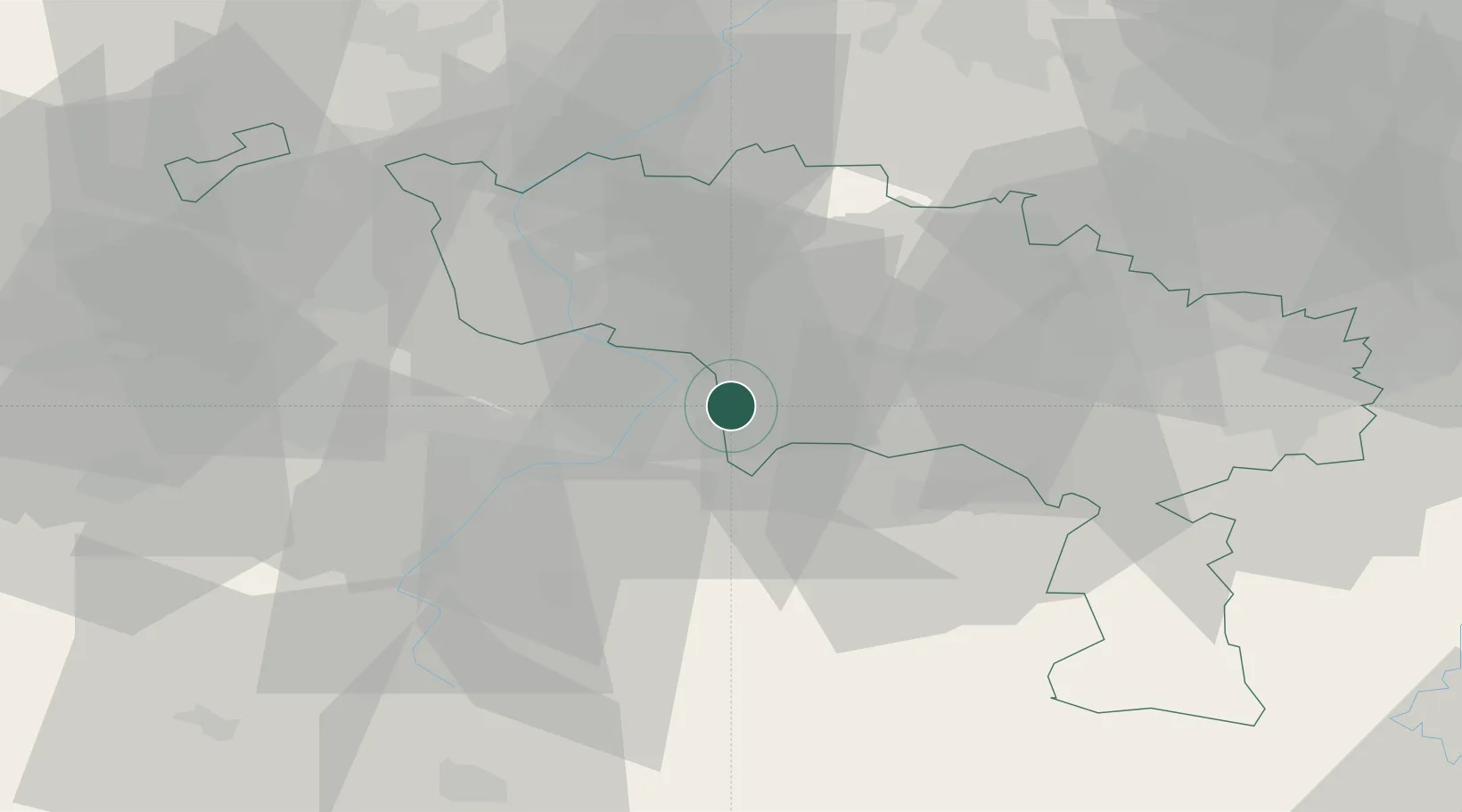
Location
Nearby Logistics Neighbours
Cities
- 1Hensies4 km
- 2Thulin6 km
- 3Pommeroeul6 km
- 4Fresnes-sur-Escaut7 km
- 5Escautpont7 km
Ports
- 1Bruxelles71 km
- 2Ghent74 km
- 3Bruges98 km
- 4Nieuwpoort104 km
- 5Antwerpen104 km
Airports
DatabookThe Record of Consolidated Knowledge
France beyond logistics?