Transport Functions
Road
Multimodal
Hub Profile
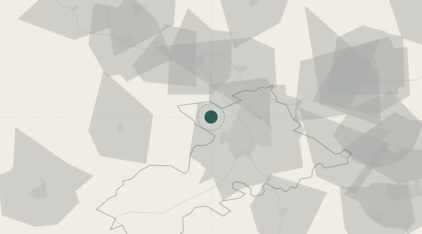
Place type
Populated place
Region
Occitanie
Population
918
Time zone
Europe/Paris
Elevation
213 m
Location
Nearby Logistics Neighbours
Cities
- 1Merville9 km
- 2Ondes13 km
- 3Léguevin14 km
- 4Cornebarrieu14 km
- 5Seilh15 km
Ports
- 1Port-La-Nouvelle172 km
- 2Bordeaux188 km
- 3Ambes198 km
- 4Port-Vendres207 km
- 5Sete207 km
Airports
Trade Zones
- 1ZFU Toulouse25 km
- 2ZFU Béziers171 km
- 3ZFU Perpignan180 km
- 4ZFU Hauts de Garonne186 km
- 5Port de Bordeaux190 km
DatabookThe Record of Consolidated Knowledge
France beyond logistics?