Transport Functions
Multimodal
Hub Profile
Place type
Populated place
Region
Occitanie
Population
2,395
Time zone
Europe/Paris
Elevation
137 m
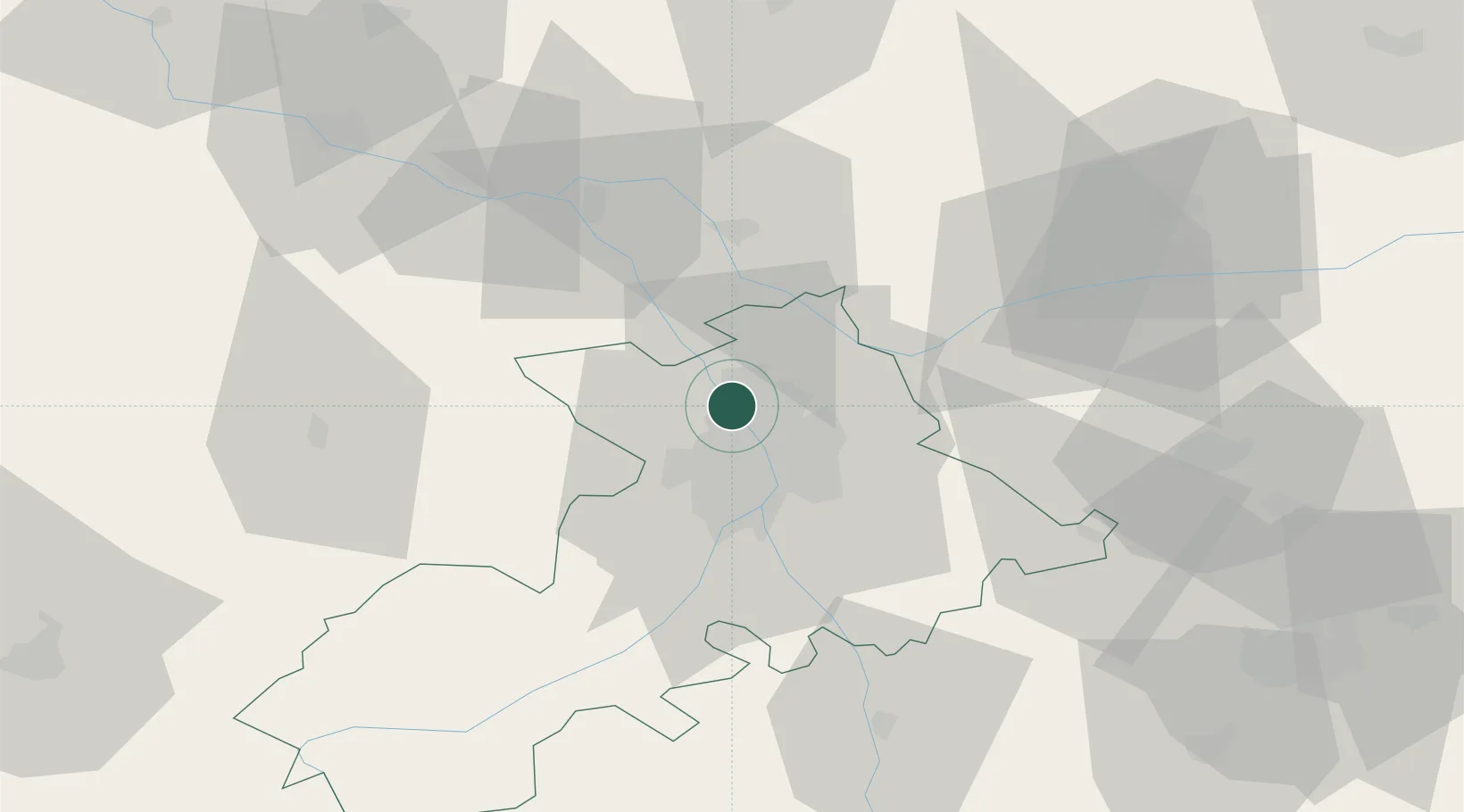
Location
Nearby Logistics Neighbours
Cities
- 1Toulouse4 km
- 2Saint-Alban4 km
- 3Beauzelle5 km
- 4Merville6 km
- 5Cornebarrieu6 km
Ports
- 1Port-La-Nouvelle158 km
- 2Sete192 km
- 3Port-Vendres195 km
- 4Bordeaux200 km
- 5Ambes209 km
Airports
Trade Zones
- 1ZFU Toulouse13 km
- 2ZFU Béziers156 km
- 3ZFU Perpignan167 km
- 4ZFU Hauts de Garonne198 km
- 5ZFU Montpellier201 km
DatabookThe Record of Consolidated Knowledge
France beyond logistics?