UN/LOCODE hub · France
FRYGP

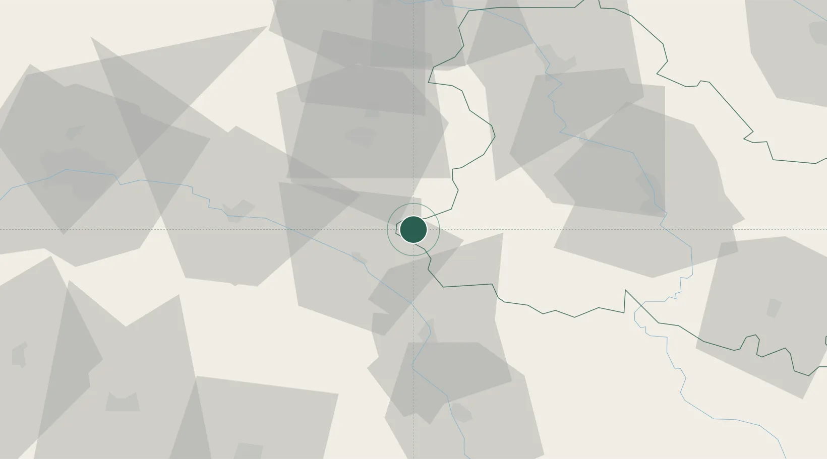
Rogny-les-Sept-Écluses

47.7333°, 2.8833°
759
Population
2
Transport functions

Transport Functions

Port
Multimodal
UN/LOCODE

Hub Profile

Place type
Populated place
GeoNames
Region
Bourgogne
GeoNames
Population
759
GeoNames
Time zone
Europe/Paris
GeoNames
Elevation
171 m
GeoNames

Location

Location of FRYGP
Natural Earth 10m (public domain) · Bourgogne · FRYGP · 47.73, 2.88GoogleOSMYandex

Nearby Logistics Neighbours

Cities
  1. 1Châtillon-Coligny10 km
  2. 2La Bussière10 km
  3. 3Saint-Privé10 km
  4. 4Châtillon-sur-Loire19 km
  5. 5Montoire24 km
Nearest neighbours — logibook spatial index (haversine) over the source coordinates
Ports
  1. 1Port Of Rouen233 km
  2. 2Honfleur271 km
  3. 3Deauville275 km
  4. 4Dieppe278 km
  5. 5Port Of Le Havre282 km
Nearest neighbours — logibook spatial index (haversine) over the source coordinates
Airports
  1. 1Auxerre Branches airport48 km
  2. 2Avord (BA 702) Air Base78 km
  3. 3Nevers-Fourchambault Airport83 km
  4. 4Bourges airport84 km
  5. 5Orléans-Bricy (BA 123) Air Base88 km
Nearest neighbours — logibook spatial index (haversine) over the source coordinates
Trade Zones
  1. 1ZFU Sens59 km
  2. 2ZFU Montereau-Fault-Yonne73 km
  3. 3ZFU Orléans79 km
  4. 4ZFU Bourges84 km
  5. 5ZFU Melun92 km
Nearest neighbours — logibook spatial index (haversine) over the source coordinates
DatabookThe Record of Consolidated Knowledge
France beyond logistics?
Browse databook

All Sources

LocationsUN/LOCODE
UN/LOCODE — free
LocationsGeoNames
CC BY 4.0
Portsthe NGA World Port Index
Public domain (US gov)
AirportsOurAirports
Public domain
Trade Zonesthe World Bank SEZ database
CC BY 4.0
Trade ZonesOpen Zone Map
CC BY
← France locations