Transport Functions
Multimodal
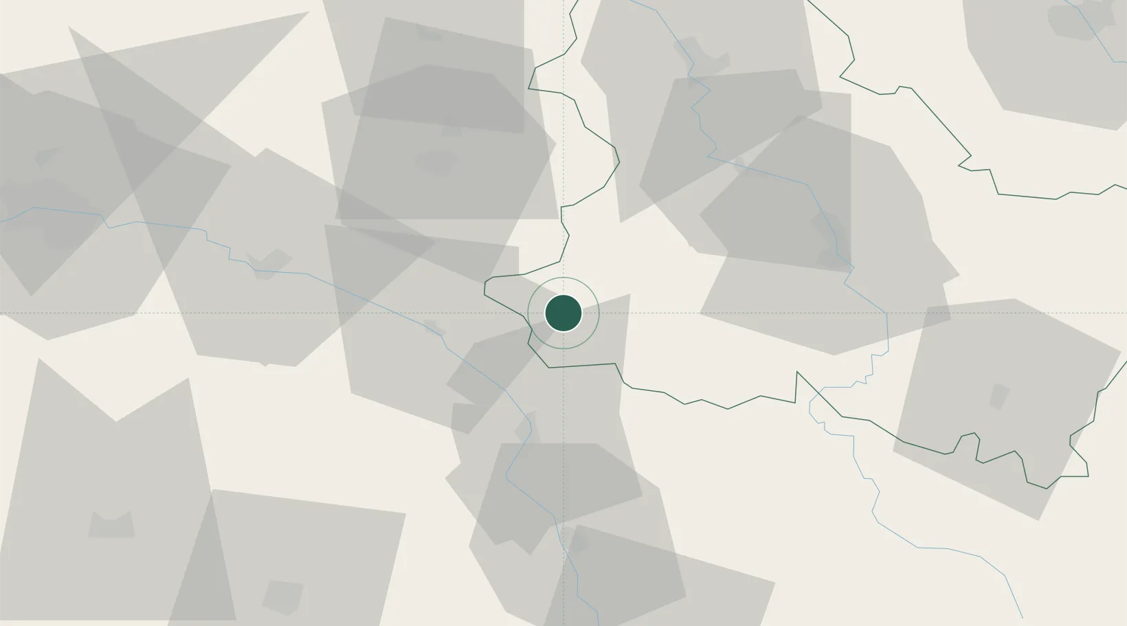
Hub Profile
Place type
Populated place
Region
Bourgogne
Population
508
Time zone
Europe/Paris
Elevation
170 m
Location
Nearby Logistics Neighbours
Cities
- 1Rogny-les-Sept-Écluses10 km
- 2Châtillon-Coligny19 km
- 3La Bussière20 km
- 4Neuvy-sur-Loire21 km
- 5Châtillon-sur-Loire22 km
Ports
- 1Port Of Rouen243 km
- 2Honfleur281 km
- 3Deauville285 km
- 4Dieppe287 km
- 5Le Treport291 km
Airports
Trade Zones
- 1ZFU Sens60 km
- 2ZFU Montereau-Fault-Yonne79 km
- 3ZFU Bourges84 km
- 4ZFU Orléans89 km
- 5ZFU Melun99 km
DatabookThe Record of Consolidated Knowledge
France beyond logistics?