Transport Functions
Rail
Road
Hub Profile
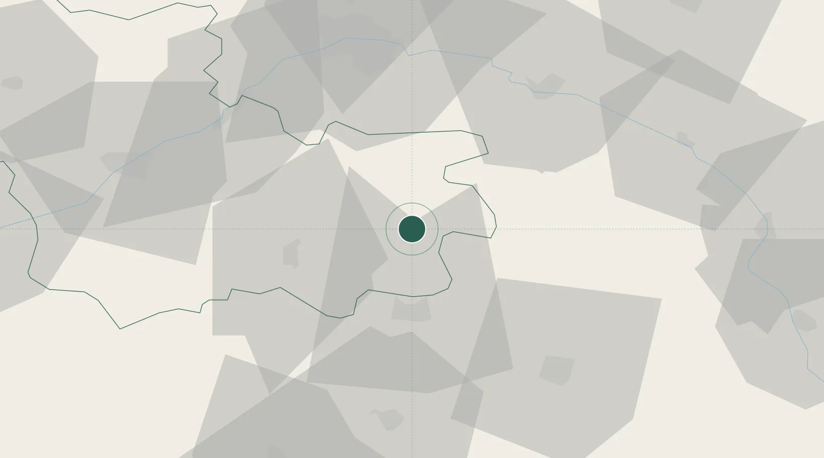
Place type
Populated place
Region
Centre-Val de Loire
Population
5,810
Time zone
Europe/Paris
Elevation
108 m
Location
Nearby Logistics Neighbours
Cities
- 1Souesmes11 km
- 2Nouan-le-Fuzelier11 km
- 3Selles-Saint-Denis12 km
- 4Vouzeron23 km
- 5Saint-Georges-sur-la-Prée26 km
Ports
- 1Port Of Rouen236 km
- 2Honfleur259 km
- 3Deauville259 km
- 4Port De Caen263 km
- 5Ouistreham267 km
Airports
- 1Bourges airport48 km
- 2Avord (BA 702) Air Base61 km
- 3Orléans-Bricy (BA 123) Air Base65 km
- 4Châteauroux Déols airport68 km
- 5Châteaudun Airfield86 km
Trade Zones
- 1ZFU Bourges45 km
- 2ZFU Orléans51 km
- 3ZFU Blois61 km
- 4ZFU Sens124 km
- 5ZFU Montereau-Fault-Yonne125 km
DatabookThe Record of Consolidated Knowledge
France beyond logistics?