UN/LOCODE hub · France
FRNLF
Nouan-le-Fuzelier
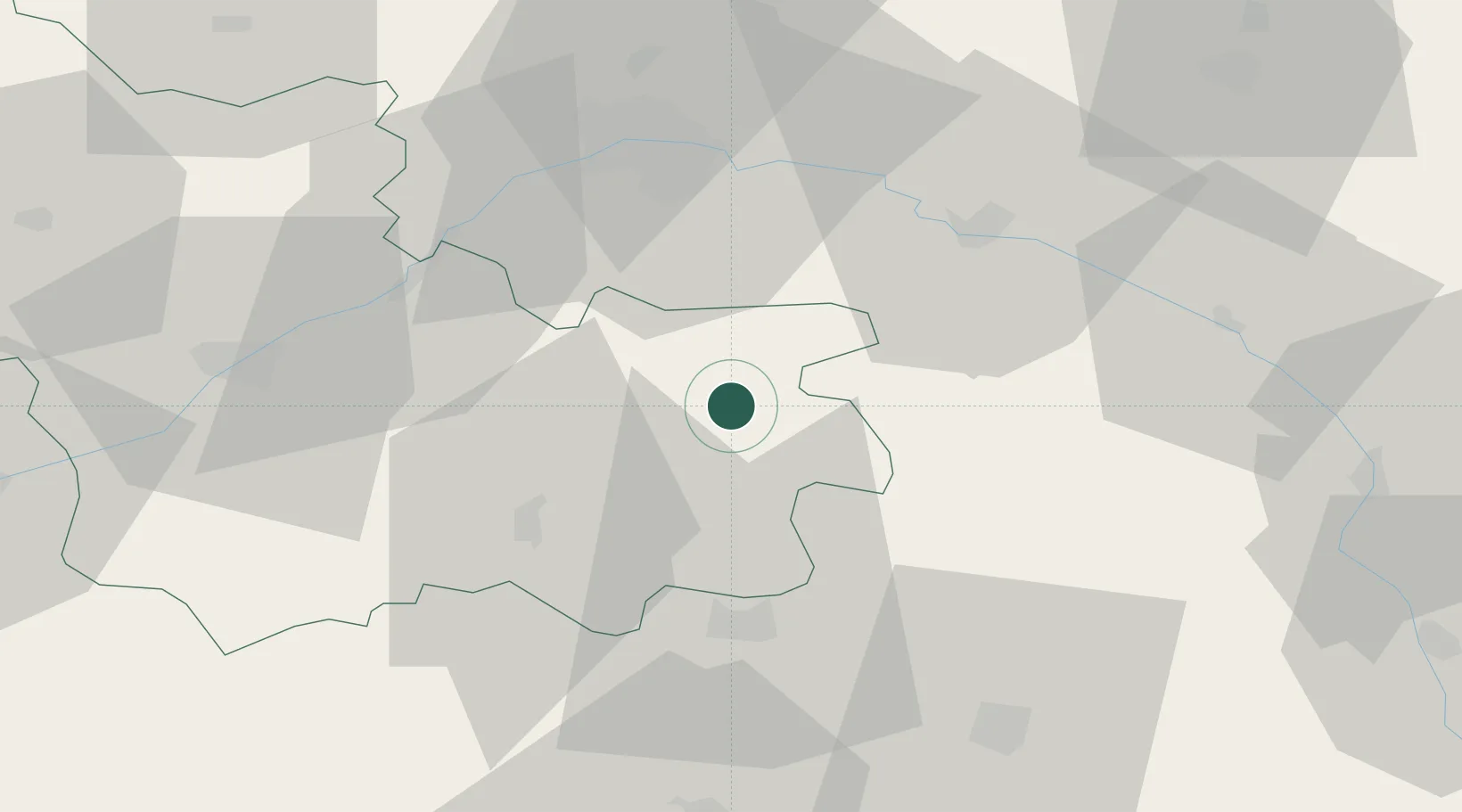
47.5333°, 2.0333°
2,469
Population
2
Transport functions
Transport Functions
Rail
Road
Hub Profile
Place type
Populated place
Region
Centre-Val de Loire
Population
2,469
Time zone
Europe/Paris
Elevation
112 m
Location
Nearby Logistics Neighbours
Cities
- 1Salbris11 km
- 2Souesmes14 km
- 3Selles-Saint-Denis19 km
- 4La Ferté-Saint-Aubin22 km
- 5Cerdon27 km
Ports
- 1Port Of Rouen225 km
- 2Honfleur249 km
- 3Deauville250 km
- 4Port De Caen254 km
- 5Ouistreham257 km
Airports
- 1Orléans-Bricy (BA 123) Air Base55 km
- 2Bourges airport58 km
- 3Avord (BA 702) Air Base70 km
- 4Châteaudun Airfield76 km
- 5Châteauroux Déols airport78 km
Trade Zones
- 1ZFU Orléans40 km
- 2ZFU Bourges55 km
- 3ZFU Blois58 km
- 4ZFU Montereau-Fault-Yonne117 km
- 5ZFU Sens118 km
DatabookThe Record of Consolidated Knowledge
France beyond logistics?