UN/LOCODE hub · France
FRQGP

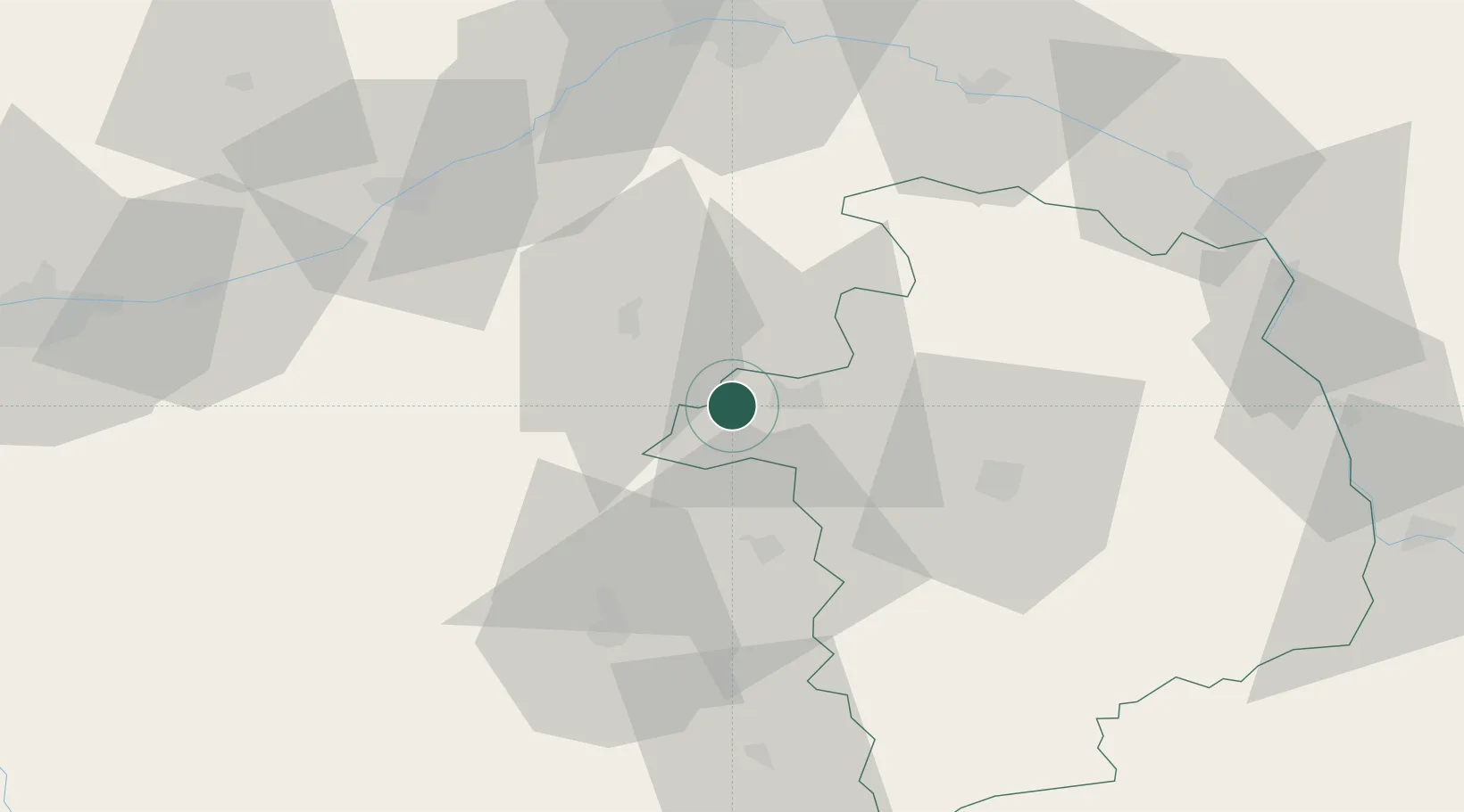
Saint-Georges-sur-la-Prée

47.2167°, 1.9333°
602
Population
2
Transport functions

Transport Functions

Road
Multimodal
UN/LOCODE

Hub Profile

Place type
Populated place
GeoNames
Region
Centre-Val de Loire
GeoNames
Population
602
GeoNames
Time zone
Europe/Paris
GeoNames
Elevation
131 m
GeoNames

Location

Location of FRQGP
Natural Earth 10m (public domain) · Centre-Val de Loire · FRQGP · 47.22, 1.93GoogleOSMYandex

Nearby Logistics Neighbours

Cities
  1. 1Cerbois17 km
  2. 2Brinay17 km
  3. 3Selles-Saint-Denis19 km
  4. 4Lazenay20 km
  5. 5Gièvres21 km
Nearest neighbours — logibook spatial index (haversine) over the source coordinates
Ports
  1. 1Port Of Rouen257 km
  2. 2Tonnay Charente259 km
  3. 3Rochefort263 km
  4. 4La Rochelle263 km
  5. 5Nantes264 km
Nearest neighbours — logibook spatial index (haversine) over the source coordinates
Airports
  1. 1Bourges airport37 km
  2. 2Châteauroux Déols airport43 km
  3. 3Avord (BA 702) Air Base56 km
  4. 4Orléans-Bricy (BA 123) Air Base87 km
  5. 5Nevers-Fourchambault Airport92 km
Nearest neighbours — logibook spatial index (haversine) over the source coordinates
Trade Zones
  1. 1ZFU Bourges34 km
  2. 2ZFU Blois64 km
  3. 3ZFU Orléans73 km
  4. 4ZFU Sens148 km
  5. 5ZFU Montereau-Fault-Yonne151 km
Nearest neighbours — logibook spatial index (haversine) over the source coordinates
DatabookThe Record of Consolidated Knowledge
France beyond logistics?
Browse databook

All Sources

LocationsUN/LOCODE
UN/LOCODE — free
LocationsGeoNames
CC BY 4.0
Portsthe NGA World Port Index
Public domain (US gov)
AirportsOurAirports
Public domain
Trade Zonesthe World Bank SEZ database
CC BY 4.0
Trade ZonesOpen Zone Map
CC BY
← France locations