UN/LOCODE hub · France
FRSZD
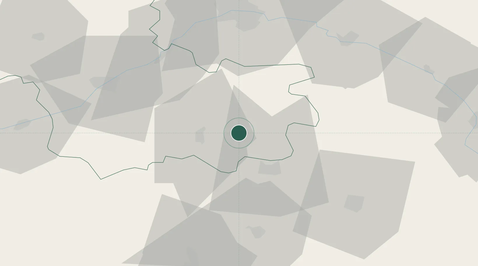
Selles-Saint-Denis
47.3833°, 1.9167°
1,242
Population
2
Transport functions
Transport Functions
Road
Multimodal
Hub Profile
Place type
Populated place
Region
Centre-Val de Loire
Population
1,242
Time zone
Europe/Paris
Elevation
97 m
Location
Nearby Logistics Neighbours
Cities
- 1Salbris12 km
- 2Saint-Georges-sur-la-Prée19 km
- 3Nouan-le-Fuzelier19 km
- 4Souesmes22 km
- 5Gièvres23 km
Ports
- 1Port Of Rouen238 km
- 2Honfleur259 km
- 3Deauville259 km
- 4Port De Caen261 km
- 5Nantes264 km
Airports
- 1Bourges airport50 km
- 2Châteauroux Déols airport60 km
- 3Avord (BA 702) Air Base65 km
- 4Orléans-Bricy (BA 123) Air Base68 km
- 5Châteaudun Airfield85 km
Trade Zones
- 1ZFU Bourges46 km
- 2ZFU Blois53 km
- 3ZFU Orléans55 km
- 4ZFU Sens136 km
- 5ZFU Montereau-Fault-Yonne136 km
DatabookThe Record of Consolidated Knowledge
France beyond logistics?