UN/LOCODE hub · France
FRNDG

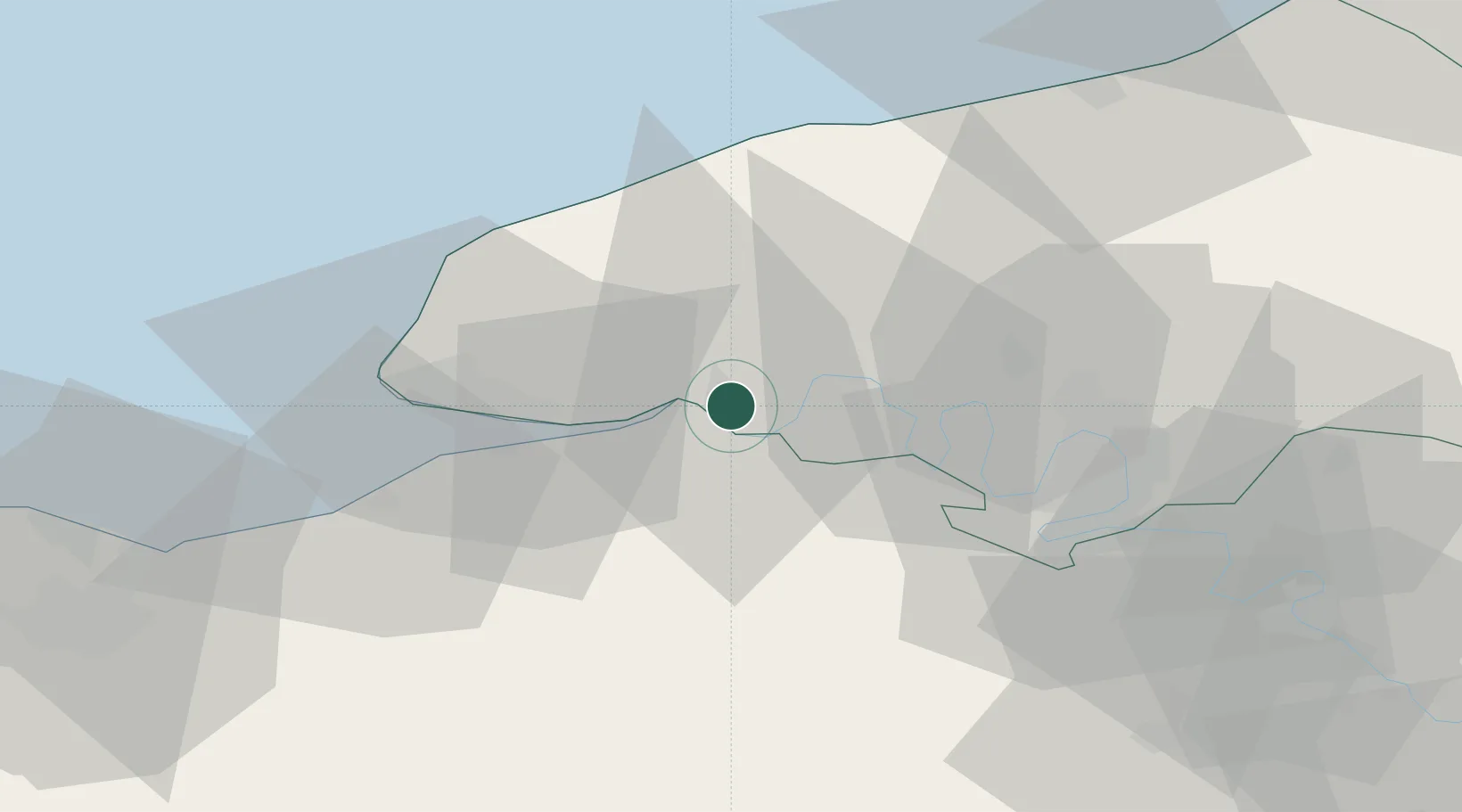
Notre-Dame-de-Gravenchon

49.4833°, 0.5667°
8,839
Population
3
Transport functions

Transport Functions

Rail
Road
Fixed Transport
UN/LOCODE

Hub Profile

Place type
Populated place
GeoNames
Region
Normandy
GeoNames
Population
8,839
GeoNames
Time zone
Europe/Paris
GeoNames
Elevation
22 m
GeoNames
Logistics facilities
1
UN/LOCODE

Location

Location of FRNDG
Natural Earth 10m (public domain) · Normandy · FRNDG · 49.48, 0.57GoogleOSMYandex

Nearby Logistics Neighbours

Cities
  1. 1Port-Jérôme3 km
  2. 2Radicatel5 km
  3. 3Mélamare10 km
  4. 4La Cerlangue11 km
  5. 5La Remuée13 km
Nearest neighbours — logibook spatial index (haversine) over the source coordinates
Ports
  1. 1Honfleur26 km
  2. 2Port Of Le Havre33 km
  3. 3Fecamp35 km
  4. 4Port Of Rouen36 km
  5. 5Deauville37 km
Nearest neighbours — logibook spatial index (haversine) over the source coordinates
Airports
  1. 1Deauville Normandie airport33 km
  2. 2Le Havre-Octeville Airport35 km
  3. 3Rouen Vallée de Seine Airport46 km
  4. 4Évreux-Fauville (BA 105) Air Base69 km
  5. 5Caen Carpiquet airport82 km
Nearest neighbours — logibook spatial index (haversine) over the source coordinates
Trade Zones
  1. 1ZFU Le Havre32 km
  2. 2ZFU Rouen Bihorel38 km
  3. 3ZFU Évreux66 km
  4. 4ZFU Hérouville-Saint-Clair73 km
  5. 5ZFU La Guérinière, La Grâce de Dieu78 km
Nearest neighbours — logibook spatial index (haversine) over the source coordinates
DatabookThe Record of Consolidated Knowledge
France beyond logistics?
Browse databook

All Sources

LocationsUN/LOCODE
UN/LOCODE — free
LocationsGeoNames
CC BY 4.0
Portsthe NGA World Port Index
Public domain (US gov)
AirportsOurAirports
Public domain
Trade Zonesthe World Bank SEZ database
CC BY 4.0
Trade ZonesOpen Zone Map
CC BY
← France locations