UN/LOCODE hub · France
FRSI3

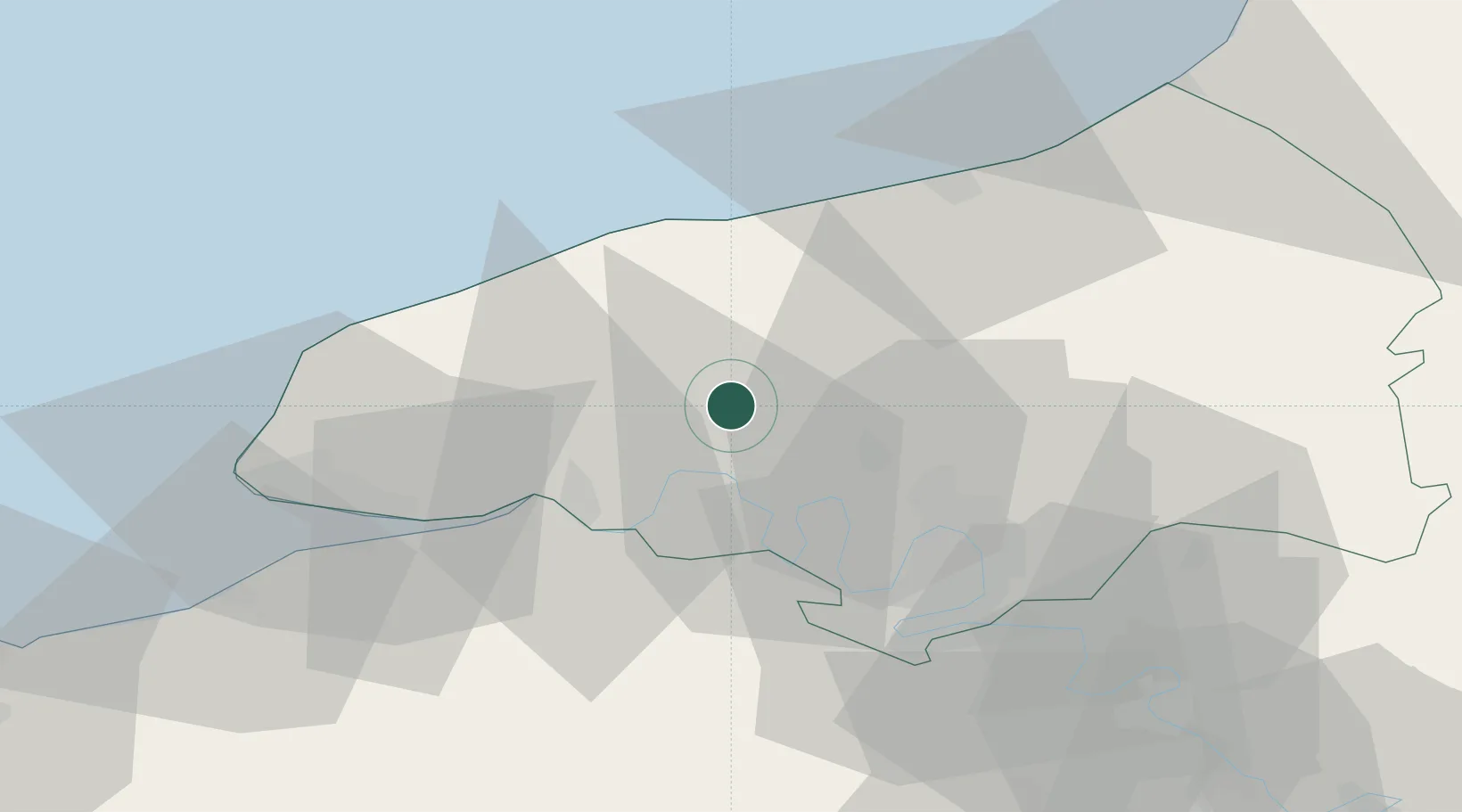
Sainte-Marie-des-Champs

49.6167°, 0.7667°
1,561
Population
2
Transport functions

Transport Functions

Rail
Road
UN/LOCODE

Hub Profile

Place type
Populated place
GeoNames
Region
Normandy
GeoNames
Population
1,561
GeoNames
Time zone
Europe/Paris
GeoNames
Elevation
149 m
GeoNames

Location

Location of FRSI3
Natural Earth 10m (public domain) · Normandy · FRSI3 · 49.62, 0.77GoogleOSMYandex

Nearby Logistics Neighbours

Cities
  1. 1Saint-Wandrille-Rançon9 km
  2. 2Harcanville12 km
  3. 3Saussay12 km
  4. 4Pavilly14 km
  5. 5Le Trait15 km
Nearest neighbours — logibook spatial index (haversine) over the source coordinates
Ports
  1. 1Port Of Rouen29 km
  2. 2Fecamp33 km
  3. 3Dieppe42 km
  4. 4Honfleur46 km
  5. 5Port Of Le Havre49 km
Nearest neighbours — logibook spatial index (haversine) over the source coordinates
Airports
  1. 1Rouen Vallée de Seine Airport39 km
  2. 2Le Havre-Octeville Airport50 km
  3. 3Deauville Normandie airport52 km
  4. 4Évreux-Fauville (BA 105) Air Base73 km
  5. 5Abbeville-Buigny Baie de Somme Airfield96 km
Nearest neighbours — logibook spatial index (haversine) over the source coordinates
Trade Zones
  1. 1ZFU Rouen Bihorel29 km
  2. 2ZFU Le Havre48 km
  3. 3ZFU Évreux71 km
  4. 4ZFU Hérouville-Saint-Clair93 km
  5. 5ZFU Beauvais95 km
Nearest neighbours — logibook spatial index (haversine) over the source coordinates
DatabookThe Record of Consolidated Knowledge
France beyond logistics?
Browse databook

All Sources

LocationsUN/LOCODE
UN/LOCODE — free
LocationsGeoNames
CC BY 4.0
Portsthe NGA World Port Index
Public domain (US gov)
AirportsOurAirports
Public domain
Trade Zonesthe World Bank SEZ database
CC BY 4.0
Trade ZonesOpen Zone Map
CC BY
← France locations