Transport Functions
Rail
Road
Hub Profile
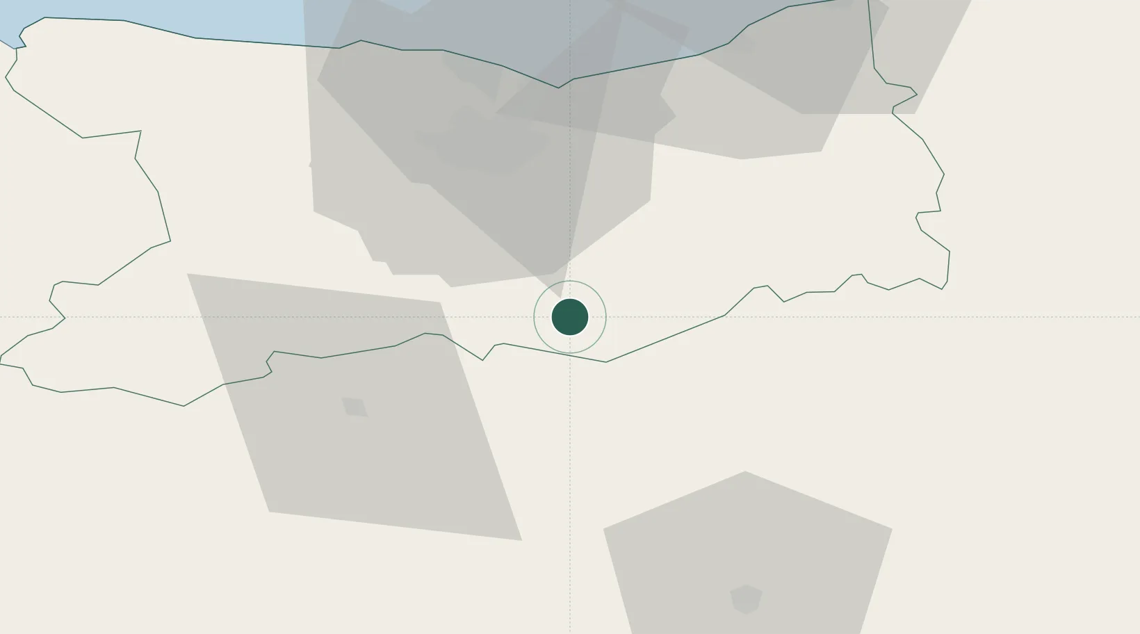
Place type
Populated place
Region
Normandy
Population
9,107
Time zone
Europe/Paris
Elevation
142 m
Location
Nearby Logistics Neighbours
Cities
- 1Soumont-Saint-Quentin8 km
- 2Putanges15 km
- 3Vieux-Fumé18 km
- 4Fierville-Bray19 km
- 5Fierville-la-Campagne19 km
Ports
- 1Port De Caen33 km
- 2Ouistreham43 km
- 3Deauville56 km
- 4Honfleur65 km
- 5Port Of Le Havre69 km
Airports
- 1Caen Carpiquet airport36 km
- 2Deauville Normandie airport58 km
- 3Le Havre-Octeville Airport74 km
- 4Granville Airport100 km
- 5Laval-Entrammes Airport105 km
Trade Zones
- 1ZFU La Guérinière, La Grâce de Dieu35 km
- 2ZFU Hérouville-Saint-Clair36 km
- 3ZFU Alençon56 km
- 4ZFU Le Havre71 km
- 5ZFU Évreux100 km
DatabookThe Record of Consolidated Knowledge
France beyond logistics?