Transport Functions
Rail
Road
Hub Profile
Place type
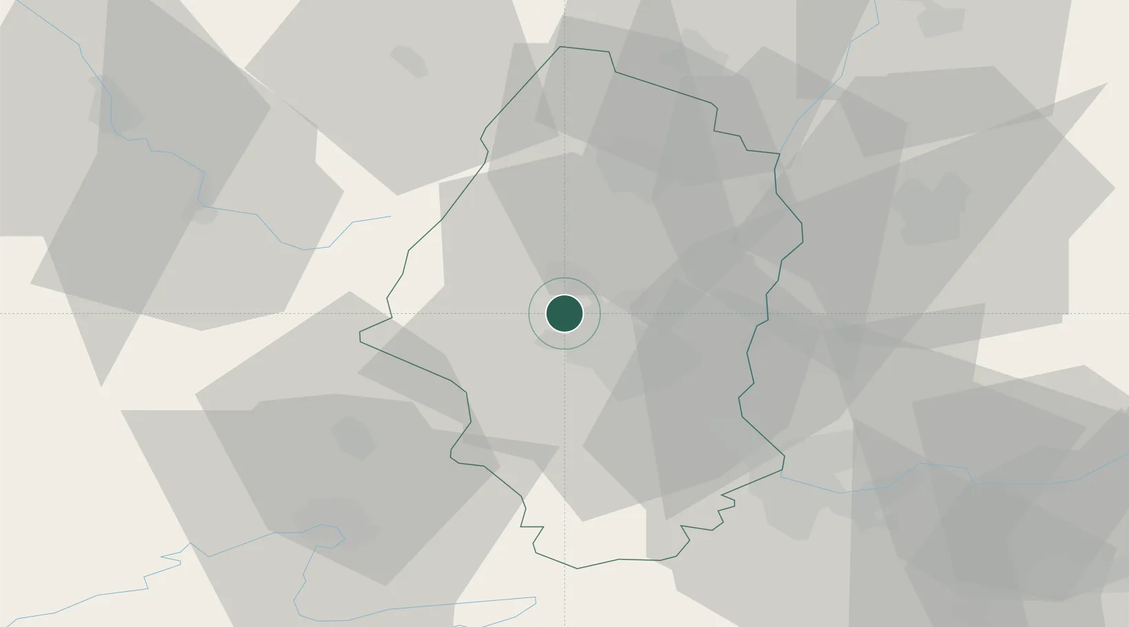
Populated place
Region
Grand Est
Population
1,109
Time zone
Europe/Paris
Elevation
260 m
Location
Nearby Logistics Neighbours
Cities
- 1Soultz-Haut-Rhin4 km
- 2Staffelfelden5 km
- 3Richwiller9 km
- 4Wittenheim10 km
- 5Pfastatt10 km
Ports
- 1Bruxelles394 km
- 2Savona405 km
- 3Genova406 km
- 4Rada Di Vado410 km
- 5Antwerpen426 km
Airports
Trade Zones
- 1ZFU Mulhouse14 km
- 2ZFU Belfort38 km
- 3ZFU Montbéliard50 km
- 4ZFU Neuhof87 km
- 5ZFU Hautepierre90 km
DatabookThe Record of Consolidated Knowledge
France beyond logistics?