Transport Functions
Multimodal
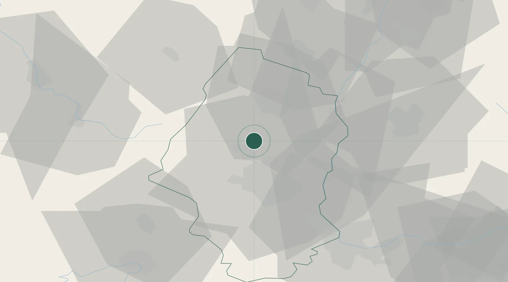
Hub Profile
Place type
Populated place
Region
Grand Est
Population
845
Time zone
Europe/Paris
Elevation
240 m
Location
Nearby Logistics Neighbours
Cities
- 1Osenbach5 km
- 2Gueberschwihr6 km
- 3Vgtlinshoffen8 km
- 4Hattstatt8 km
- 5Obermorschwihr8 km
Ports
- 1Bruxelles387 km
- 2Genova415 km
- 3Savona415 km
- 4Antwerpen418 km
- 5Rada Di Vado420 km
Airports
Trade Zones
- 1ZFU Mulhouse23 km
- 2ZFU Belfort48 km
- 3ZFU Montbéliard61 km
- 4ZFU Neuhof75 km
- 5ZFU Hautepierre78 km
DatabookThe Record of Consolidated Knowledge
France beyond logistics?