Transport Functions
Multimodal
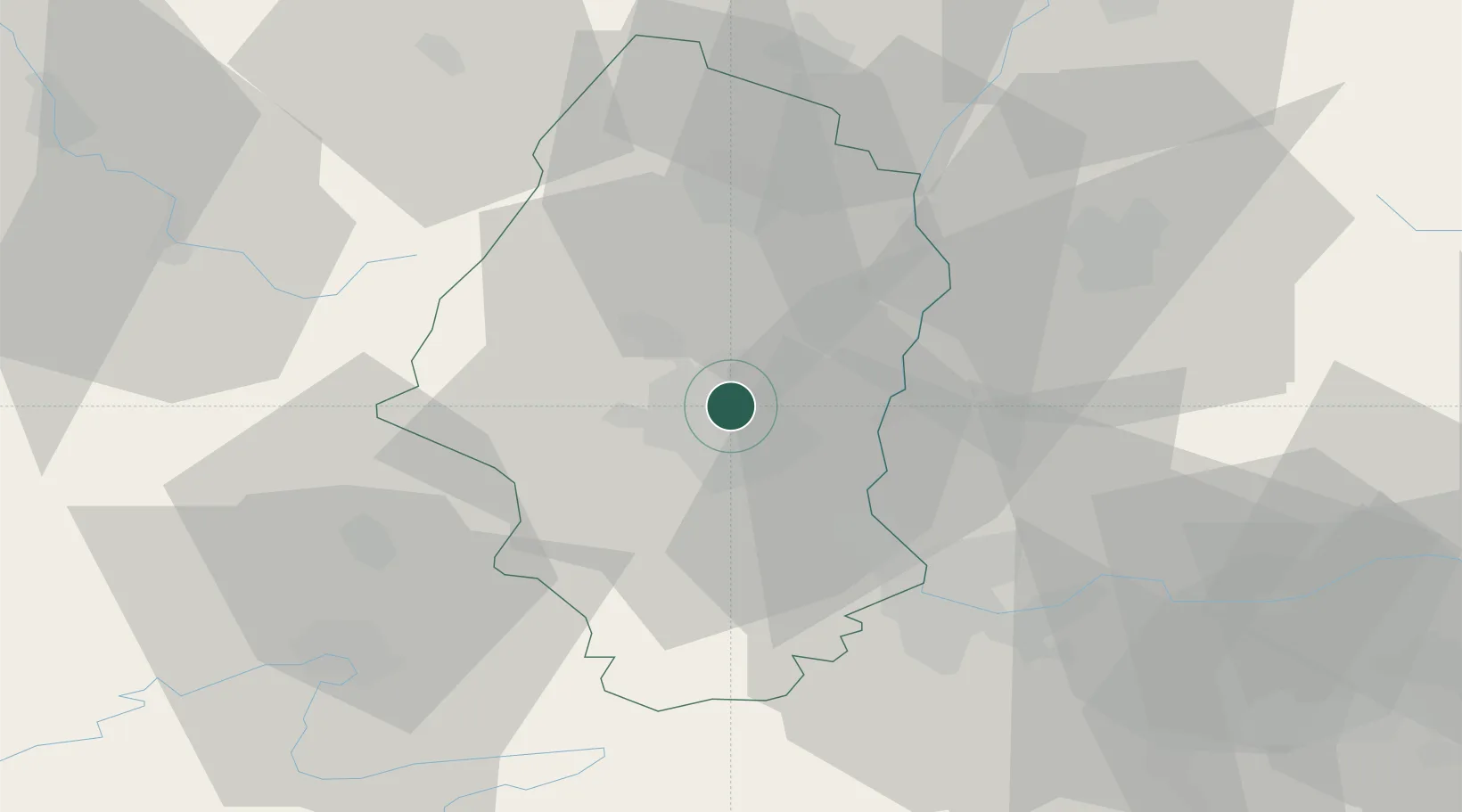
Hub Profile
Place type
Populated place
Region
Grand Est
Population
15,747
Time zone
Europe/Paris
Elevation
228 m
Location
Nearby Logistics Neighbours
Cities
- 1Pfastatt5 km
- 2Richwiller5 km
- 3Mulhouse Nord6 km
- 4Staffelfelden6 km
- 5Mulhouse7 km
Ports
- 1Genova399 km
- 2Savona399 km
- 3Bruxelles402 km
- 4Rada Di Vado404 km
- 5Chiavari - Lavagna420 km
Airports
- 1EuroAirport Basel–Mulhouse–Freiburg28 km
- 2Colmar Houssen airport33 km
- 3Montbéliard-Courcelles Airfield55 km
- 4Grenchen Airfield71 km
- 5Lahr Airport72 km
Trade Zones
- 1ZFU Mulhouse8 km
- 2ZFU Belfort44 km
- 3ZFU Montbéliard54 km
- 4ZFU Neuhof87 km
- 5ZFU Hautepierre91 km
DatabookThe Record of Consolidated Knowledge
France beyond logistics?