Transport Functions
Rail
Road
Multimodal
Hub Profile
Place type
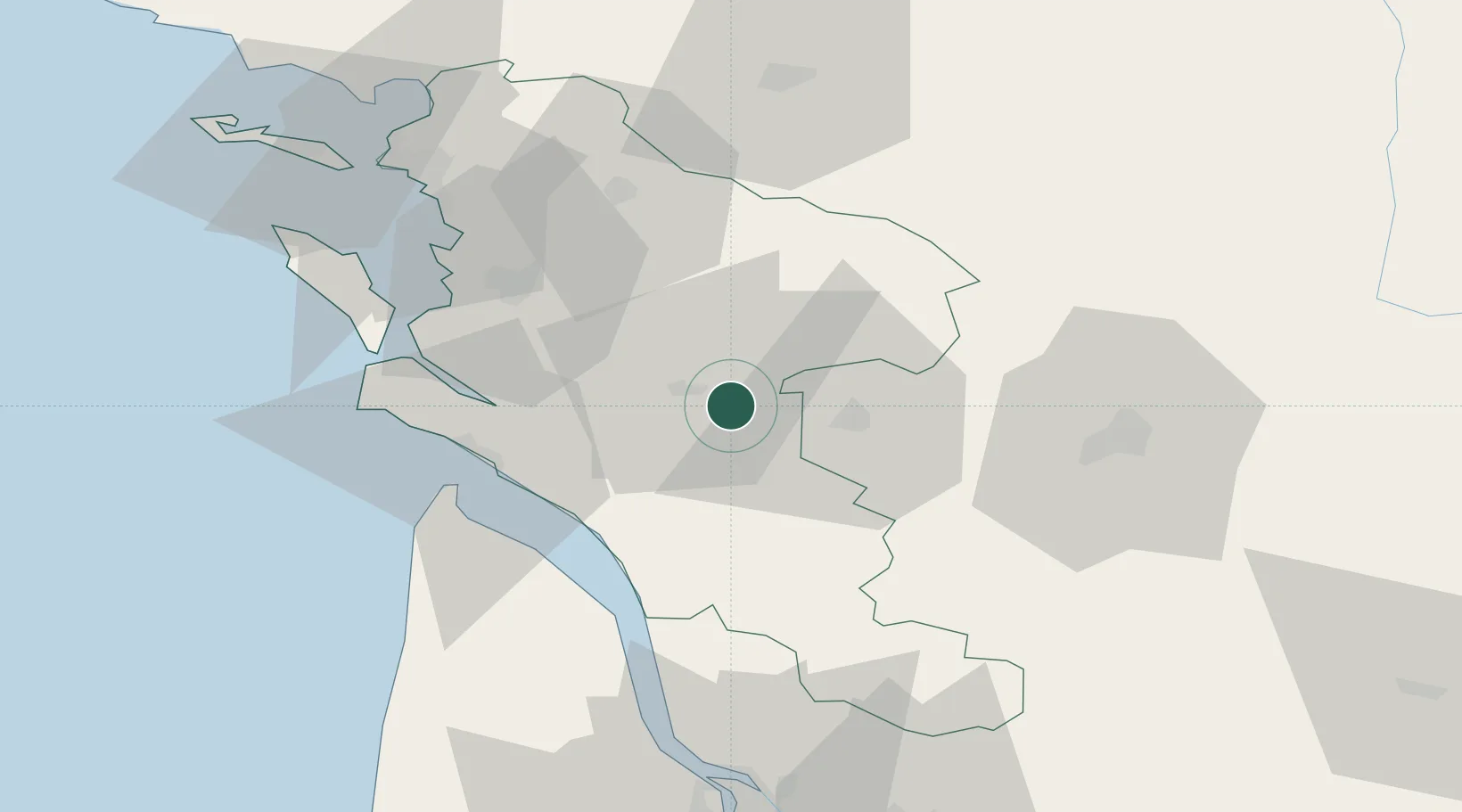
Populated place
Region
Nouvelle-Aquitaine
Population
3,488
Time zone
Europe/Paris
Elevation
12 m
Location
Nearby Logistics Neighbours
Cities
- 1La Chapelle-des-Pots6 km
- 2Saintes8 km
- 3Thénac10 km
- 4Chermignac10 km
- 5Salignac-sur-Charente12 km
Ports
- 1Tonnay Charente36 km
- 2Rochefort39 km
- 3Le Verdon43 km
- 4Pauillac60 km
- 5Blaye66 km
Airports
Trade Zones
- 1ZFU La Rochelle71 km
- 2Port de Bordeaux90 km
- 3ZFU Hauts de Garonne99 km
- 4ZFU Nantes et Saint-Herblain189 km
- 5ZFU Angers196 km
DatabookThe Record of Consolidated Knowledge
France beyond logistics?