Transport Functions
Multimodal
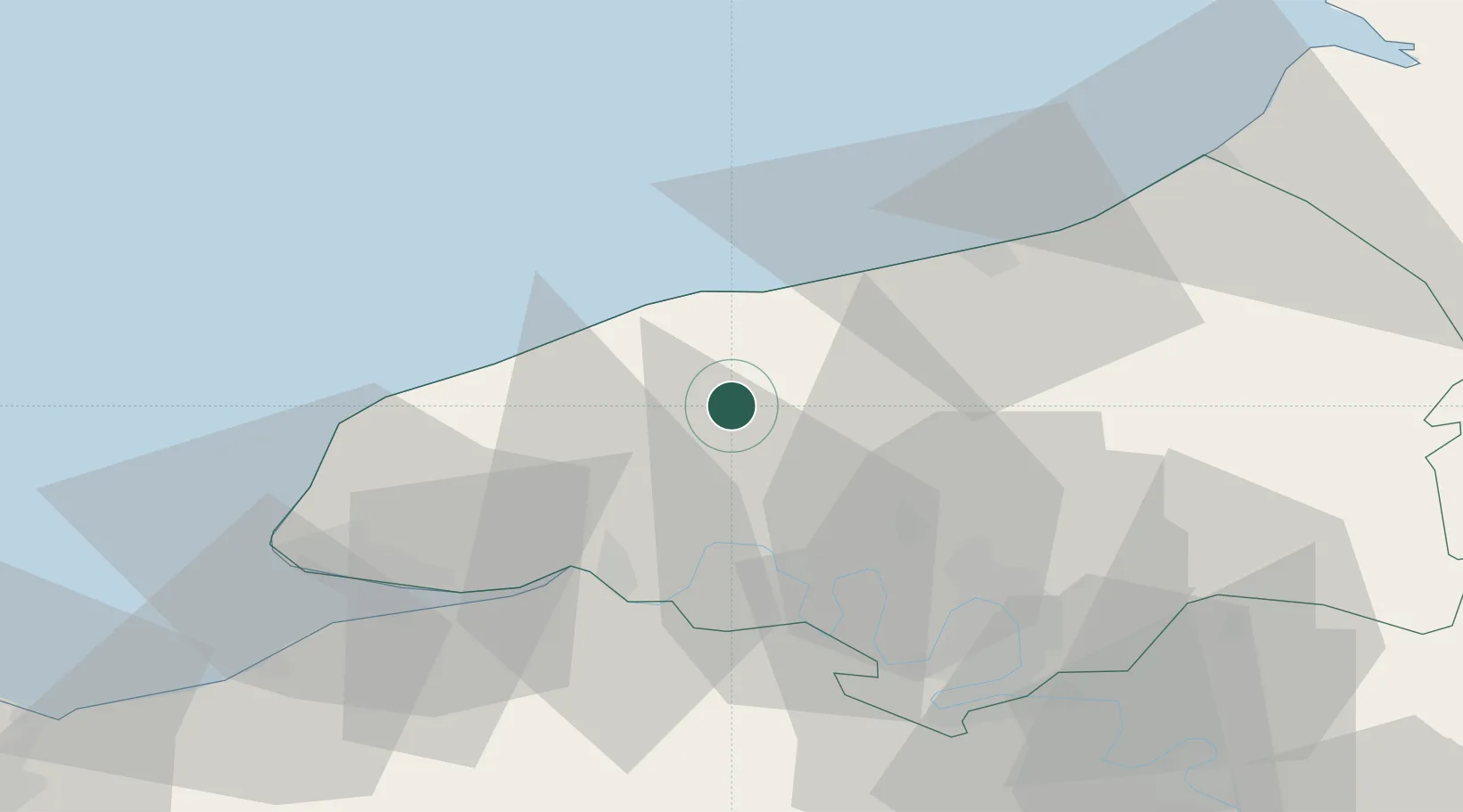
Hub Profile
Place type
Populated place
Region
Normandy
Population
418
Time zone
Europe/Paris
Elevation
132 m
Location
Nearby Logistics Neighbours
Cities
- 1Gonzeville9 km
- 2Sainte-Marie-des-Champs12 km
- 3Portes16 km
- 4Limpiville16 km
- 5Saint-Leger17 km
Ports
- 1Fecamp26 km
- 2Dieppe36 km
- 3Port Of Rouen39 km
- 4Honfleur49 km
- 5Port Of Le Havre50 km
Airports
Trade Zones
- 1ZFU Rouen Bihorel39 km
- 2ZFU Le Havre49 km
- 3ZFU Évreux83 km
- 4ZFU Hérouville-Saint-Clair96 km
- 5ZFU La Guérinière, La Grâce de Dieu101 km
DatabookThe Record of Consolidated Knowledge
France beyond logistics?