Transport Functions
Multimodal
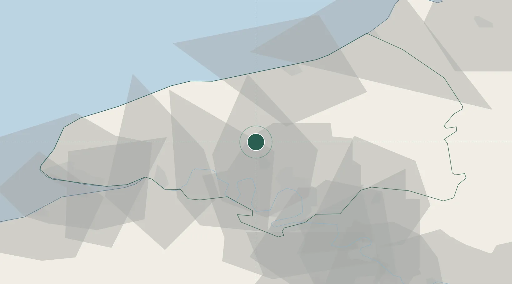
Hub Profile
Place type
Populated place
Region
Normandy
Population
322
Time zone
Europe/Paris
Elevation
162 m
Location
Nearby Logistics Neighbours
Cities
- 1Pavilly8 km
- 2Sainte-Marie-des-Champs12 km
- 3Malaunay13 km
- 4Clères14 km
- 5Le Houlme15 km
Ports
- 1Port Of Rouen23 km
- 2Dieppe35 km
- 3Fecamp43 km
- 4Honfleur57 km
- 5Le Treport57 km
Airports
Trade Zones
- 1ZFU Rouen Bihorel22 km
- 2ZFU Le Havre60 km
- 3ZFU Évreux69 km
- 4ZFU Beauvais84 km
- 5ZFU Amiens90 km
DatabookThe Record of Consolidated Knowledge
France beyond logistics?