UN/LOCODE hub · France
FRSG8

Saint-Germain-de-la-Grange
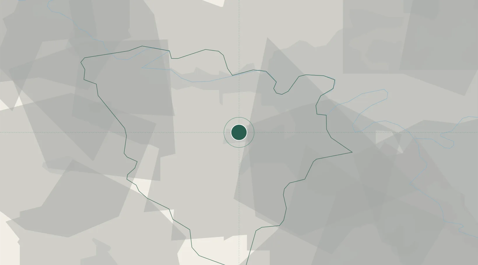
48.8333°, 1.9000°
1,827
Population
2
Transport functions

Transport Functions

Road
Multimodal
UN/LOCODE

Hub Profile

Place type
Populated place
GeoNames
Region
Île-de-France
GeoNames
Population
1,827
GeoNames
Time zone
Europe/Paris
GeoNames
Elevation
110 m
GeoNames

Location

Location of FRSG8
Natural Earth 10m (public domain) · Île-de-France · FRSG8 · 48.83, 1.90GoogleOSMYandex

Nearby Logistics Neighbours

Cities
  1. 1Beynes3 km
  2. 2Les Clayes-sous-Bois6 km
  3. 3Montreuil-la-Cambe9 km
  4. 4Les Alluets-le-Roi9 km
  5. 5Saint-Quentin-en-Yvelines10 km
Nearest neighbours — logibook spatial index (haversine) over the source coordinates
Ports
  1. 1Port Of Rouen92 km
  2. 2Dieppe136 km
  3. 3Honfleur139 km
  4. 4Le Treport143 km
  5. 5Deauville145 km
Nearest neighbours — logibook spatial index (haversine) over the source coordinates
Airports
  1. 1Toussus-le-Noble Airport18 km
  2. 2Vélizy-Villacoublay Air Base23 km
  3. 3Pontoise-Cormeilles Aerodrome31 km
  4. 4Paris-Orly Airport37 km
  5. 5Paris-Le Bourget International Airport42 km
Nearest neighbours — logibook spatial index (haversine) over the source coordinates
Trade Zones
  1. 1ZFU Trappes10 km
  2. 2ZFU Les Mureaux17 km
  3. 3ZFU Mantes-la-Jolie22 km
  4. 4ZFU Sartrouville22 km
  5. 5ZFU Argenteuil27 km
Nearest neighbours — logibook spatial index (haversine) over the source coordinates
DatabookThe Record of Consolidated Knowledge
France beyond logistics?
Browse databook

All Sources

LocationsUN/LOCODE
UN/LOCODE — free
LocationsGeoNames
CC BY 4.0
Portsthe NGA World Port Index
Public domain (US gov)
AirportsOurAirports
Public domain
Trade Zonesthe World Bank SEZ database
CC BY 4.0
Trade ZonesOpen Zone Map
CC BY
← France locations