Transport Functions
Multimodal
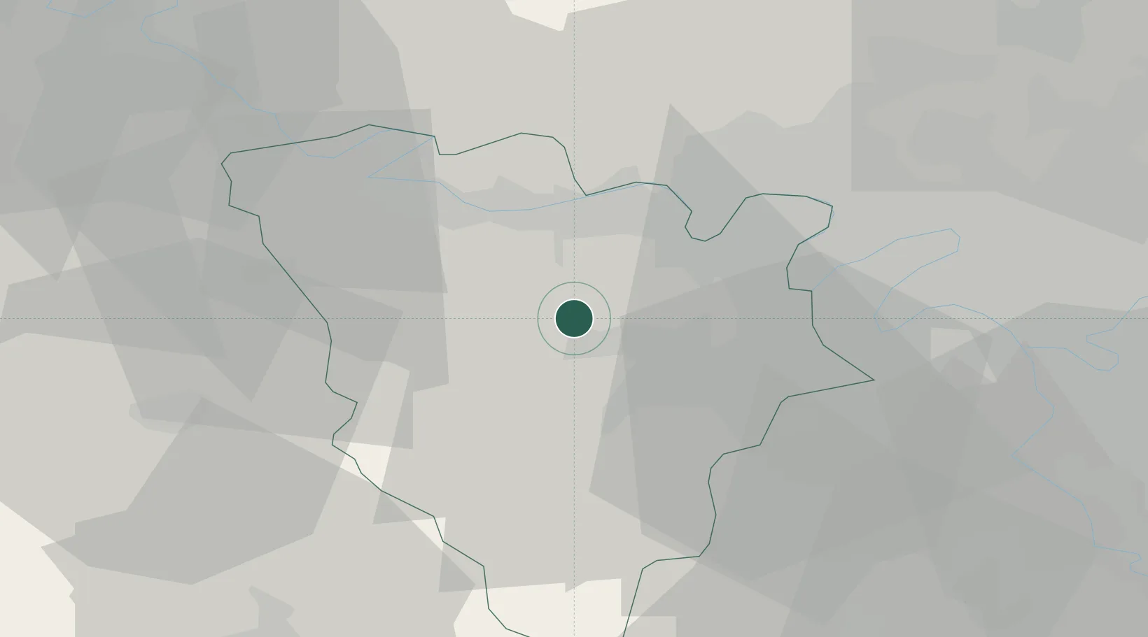
Hub Profile
Place type
Populated place
Region
Île-de-France
Population
7,914
Time zone
Europe/Paris
Elevation
54 m
Location
Nearby Logistics Neighbours
Cities
- 1Saint-Germain-de-la-Grange3 km
- 2Les Alluets-le-Roi8 km
- 3Bazemont9 km
- 4Les Clayes-sous-Bois9 km
- 5Jumeauville10 km
Ports
- 1Port Of Rouen89 km
- 2Dieppe133 km
- 3Honfleur136 km
- 4Le Treport140 km
- 5Deauville142 km
Airports
Trade Zones
- 1ZFU Trappes13 km
- 2ZFU Les Mureaux15 km
- 3ZFU Mantes-la-Jolie19 km
- 4ZFU Sartrouville23 km
- 5ZFU Argenteuil29 km
DatabookThe Record of Consolidated Knowledge
France beyond logistics?