Economic Revitalization Project · France

ZFU Argenteuil Active
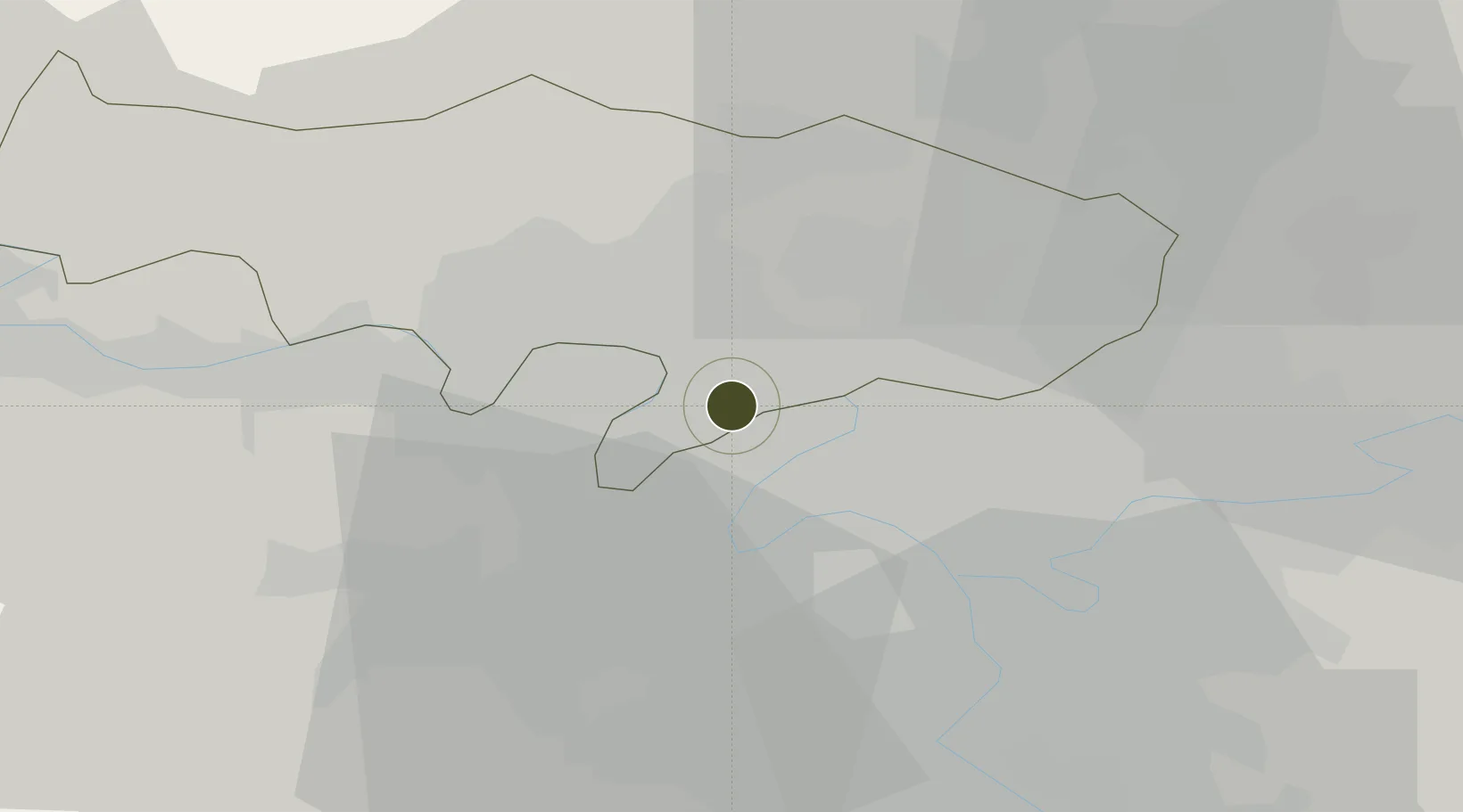
48.9501°, 2.2302°
151 ha
Zone area
101.2 km
Nearest port
15.1 km
Nearest airport

Gateway access

Nearest neighbours — logibook spatial index (haversine) over the source coordinates

Zone profile

Zone type
Economic Revitalization Project
Open Zone Map
Region
Val-d'Oise
Open Zone Map
Status
Active
Open Zone Map
Management
Public
Open Zone Map
Operator
Argenteuil
Open Zone Map
Legal framework
Décret no 65-939 du 8 novembre 1965, Décret du 9 Octobre 2008
Open Zone Map

Location

Location of ozm-1975
Natural Earth 10m (public domain) · Val-d'Oise · ozm-1975 · 48.95, 2.23GoogleOSMYandex

Nearby Logistics Neighbours

Ports
  1. 1Port Of Rouen101 km
  2. 2Dieppe137 km
  3. 3Le Treport139 km
  4. 4Saint-Valery-Sur-Somme144 km
  5. 5Honfleur155 km
Nearest neighbours — logibook spatial index (haversine) over the source coordinates
Airports
  1. 1Paris-Le Bourget International Airport15 km
  2. 2Vélizy-Villacoublay Air Base20 km
  3. 3Pontoise-Cormeilles Aerodrome22 km
  4. 4Toussus-le-Noble Airport24 km
  5. 5Charles de Gaulle International Airport25 km
Nearest neighbours — logibook spatial index (haversine) over the source coordinates
Cities
  1. 1Franconville4 km
  2. 2Colombes4 km
  3. 3Gennevilliers4 km
  4. 4Montigny-lès-Cormeilles5 km
  5. 5Asnières-sur-Seine5 km
Nearest neighbours — logibook spatial index (haversine) over the source coordinates
Trade Zones
  1. 1ZFU Epinay-sur-Seine5 km
  2. 2ZFU Sartrouville6 km
  3. 3ZFU Stains11 km
  4. 4ZFU Aubervilliers, Bobigny, Drancy et Pantin12 km
  5. 5ZFU Garges-lès-Gonesse et Sarcelles13 km
Nearest neighbours — logibook spatial index (haversine) over the source coordinates
DatabookThe Record of Consolidated Knowledge
France beyond logistics?
Browse databook

All Sources

Trade ZonesOpen Zone Map
CC BY
Portsthe NGA World Port Index
Public domain (US gov)
AirportsOurAirports
Public domain
LocationsUN/LOCODE
UN/LOCODE — free
← France trade zones