Transport Functions
Multimodal
Hub Profile
Place type
Populated place
Region
Normandy
Population
83
Time zone
Europe/Paris
Elevation
131 m
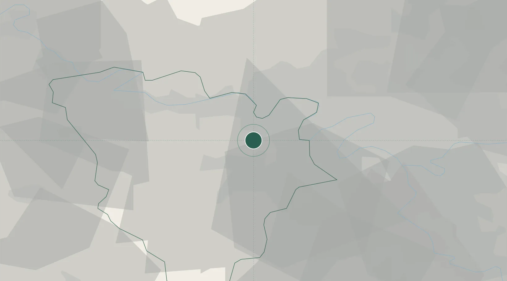
Location
Nearby Logistics Neighbours
Cities
- 1Fourqueux5 km
- 2L'Étang-la-Ville5 km
- 3Poissy7 km
- 4Les Alluets-le-Roi7 km
- 5Morainvilliers7 km
Ports
- 1Port Of Rouen93 km
- 2Dieppe134 km
- 3Le Treport139 km
- 4Honfleur143 km
- 5Saint-Valery-Sur-Somme147 km
Airports
Trade Zones
- 1ZFU Trappes12 km
- 2ZFU Sartrouville13 km
- 3ZFU Les Mureaux14 km
- 4ZFU Argenteuil18 km
- 5ZFU Epinay-sur-Seine23 km
DatabookThe Record of Consolidated Knowledge
France beyond logistics?