Large airport · France

Paris-Le Bourget International AirportLFPB
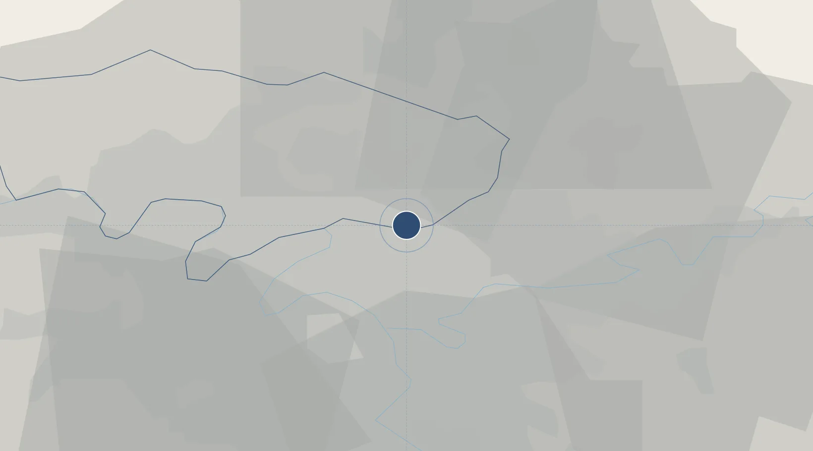
48.9623°, 2.4365°
9,843 ft
Longest runway
3
Runways
218 ft
Elevation

Runway & Layout

Paris-Le Bourget International Airport runway & taxiway layout
Runway & taxiway layout — OpenStreetMap (ODbL) / OurAirports

Radio Frequencies

ATIS
120 MHz
TWR
118.925 MHz
GND
121.9 MHz
APP
121.15 MHz
DE GAULLE APP
APP
136.275 MHz
DE GAULLE APP
DEP
124.35 MHz
DE GAULLE DEP
PFLT
121.95 MHz
PREFLIGHT
OurAirports

Navaids

BT VOR-DME Le Bourget 116.10 MHz
OurAirports

Runways · 3

RunwayDimensions SurfaceTrue headingLit
07/25 9,843 × 148ft Asphalt / concrete 069°
03/21 7,858 × 148ft Asphalt 026°
09/27 6,060 × 148ft Asphalt 086°
OurAirports

Airport Specifications

IATA code
LBG
OurAirports
ICAO code
LFPB
OurAirports
Airport class
Large airport
OurAirports
Scheduled service
Yes
OurAirports
Runway surface
Asphalt / concrete
OurAirports
Served city
Paris
OurAirports

Location

Location of LFPB
Natural Earth 10m (public domain) · Val-d'Oise · LFPB · 48.96, 2.44GoogleOSMYandex

Nearby Logistics Neighbours

Airports
  1. 1Charles de Gaulle International Airport10 km
  2. 2Paris-Orly Airport27 km
  3. 3Vélizy-Villacoublay Air Base27 km
  4. 4Pontoise-Cormeilles Aerodrome33 km
  5. 5Creil Air Base33 km
Nearest neighbours — logibook spatial index (haversine) over the source coordinates
Cities
  1. 1Bonneuil-en-France1 km
  2. 2Le Bourget Apt/Paris1 km
  3. 3Garges-lès-Gonesse2 km
  4. 4Arnouville3 km
  5. 5Le Blanc-Mesnil3 km
Nearest neighbours — logibook spatial index (haversine) over the source coordinates
Ports
  1. 1Port Of Rouen113 km
  2. 2Le Treport145 km
  3. 3Dieppe146 km
  4. 4Saint-Valery-Sur-Somme148 km
  5. 5Honfleur169 km
Nearest neighbours — logibook spatial index (haversine) over the source coordinates
Trade Zones
  1. 1ZFU Aulnay-sous-Bois2 km
  2. 2ZFU Garges-lès-Gonesse et Sarcelles3 km
  3. 3ZFU Le Blanc-Mesnil, Dugny3 km
  4. 4ZFU Stains4 km
  5. 5ZFU La Courneuve6 km
Nearest neighbours — logibook spatial index (haversine) over the source coordinates
DatabookThe Record of Consolidated Knowledge
France beyond logistics?
Browse databook

All Sources

AirportsOurAirports
Public domain
Portsthe NGA World Port Index
Public domain (US gov)
LocationsUN/LOCODE
UN/LOCODE — free
Trade Zonesthe World Bank SEZ database
CC BY 4.0
Trade ZonesOpen Zone Map
CC BY
InfrastructureOpenStreetMap
ODbL 1.0
← France airports