UN/LOCODE hub · France
FRSQY

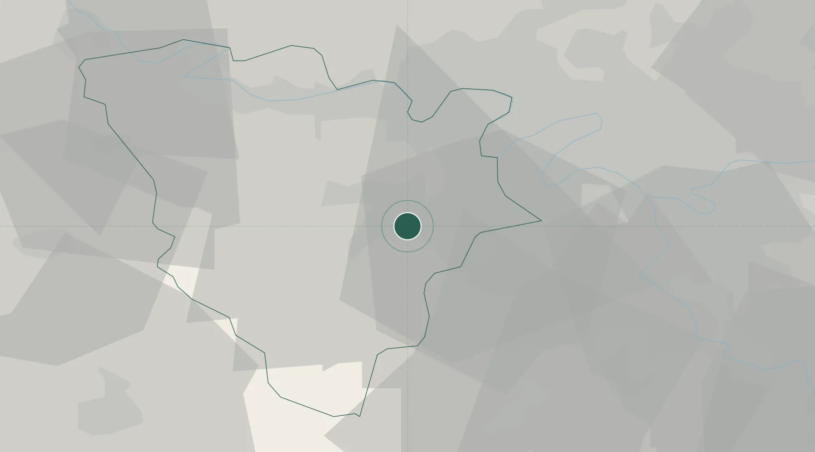
Saint-Quentin-en-Yvelines

48.7667°, 2.0000°
146,598
Population
2
Transport functions

Transport Functions

Rail
Road
UN/LOCODE

Hub Profile

Place type
Populated place
GeoNames
Region
Île-de-France
GeoNames
Population
146,598
GeoNames
Time zone
Europe/Paris
GeoNames
Elevation
166 m
GeoNames

Location

Location of FRSQY
Natural Earth 10m (public domain) · Île-de-France · FRSQY · 48.77, 2.00GoogleOSMYandex

Nearby Logistics Neighbours

Cities
  1. 1Trappes1 km
  2. 2Bois-d'Arcy4 km
  3. 3Le Mesnil-Saint-Denis4 km
  4. 4Les Clayes-sous-Bois6 km
  5. 5Saint-Cyr-l'École6 km
Nearest neighbours — logibook spatial index (haversine) over the source coordinates
Ports
  1. 1Port Of Rouen102 km
  2. 2Dieppe146 km
  3. 3Honfleur149 km
  4. 4Le Treport152 km
  5. 5Deauville155 km
Nearest neighbours — logibook spatial index (haversine) over the source coordinates
Airports
  1. 1Toussus-le-Noble Airport8 km
  2. 2Vélizy-Villacoublay Air Base15 km
  3. 3Paris-Orly Airport28 km
  4. 4Pontoise-Cormeilles Aerodrome37 km
  5. 5Paris-Le Bourget International Airport39 km
Nearest neighbours — logibook spatial index (haversine) over the source coordinates
Trade Zones
  1. 1ZFU Trappes1 km
  2. 2ZFU Sartrouville22 km
  3. 3ZFU Les Mureaux26 km
  4. 4ZFU Argenteuil26 km
  5. 5ZFU Vitry-sur-Seine28 km
Nearest neighbours — logibook spatial index (haversine) over the source coordinates
DatabookThe Record of Consolidated Knowledge
France beyond logistics?
Browse databook

All Sources

LocationsUN/LOCODE
UN/LOCODE — free
LocationsGeoNames
CC BY 4.0
Portsthe NGA World Port Index
Public domain (US gov)
AirportsOurAirports
Public domain
Trade Zonesthe World Bank SEZ database
CC BY 4.0
Trade ZonesOpen Zone Map
CC BY
← France locations