Economic Revitalization Project · France

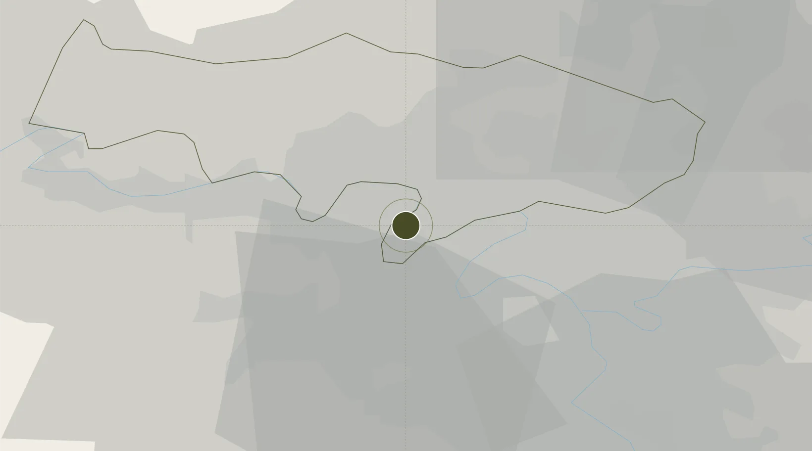
ZFU Sartrouville Active

48.9374°, 2.1568°
96 ha
Zone area
97.6 km
Nearest port
18.4 km
Nearest airport

Gateway access

Nearest neighbours — logibook spatial index (haversine) over the source coordinates

Zone profile

Zone type
Economic Revitalization Project
Open Zone Map
Region
Val-d'Oise
Open Zone Map
Status
Active
Open Zone Map
Management
Public
Open Zone Map
Operator
Sartrouville
Open Zone Map
Legal framework
Décret no 65-939 du 8 novembre 1965, Décret du 9 Octobre 2008
Open Zone Map

Location

Location of ozm-1945
Natural Earth 10m (public domain) · Val-d'Oise · ozm-1945 · 48.94, 2.16GoogleOSMYandex

Nearby Logistics Neighbours

Ports
  1. 1Port Of Rouen98 km
  2. 2Dieppe135 km
  3. 3Le Treport138 km
  4. 4Saint-Valery-Sur-Somme144 km
  5. 5Honfleur151 km
Nearest neighbours — logibook spatial index (haversine) over the source coordinates
Airports
  1. 1Vélizy-Villacoublay Air Base18 km
  2. 2Pontoise-Cormeilles Aerodrome20 km
  3. 3Paris-Le Bourget International Airport21 km
  4. 4Toussus-le-Noble Airport21 km
  5. 5Paris-Orly Airport29 km
Nearest neighbours — logibook spatial index (haversine) over the source coordinates
Cities
  1. 1Houilles2 km
  2. 2Montigny-lès-Cormeilles6 km
  3. 3Le Port-Marly7 km
  4. 4Nanterre7 km
  5. 5Colombes7 km
Nearest neighbours — logibook spatial index (haversine) over the source coordinates
Trade Zones
  1. 1ZFU Argenteuil6 km
  2. 2ZFU Epinay-sur-Seine11 km
  3. 3ZFU Stains17 km
  4. 4ZFU Aubervilliers, Bobigny, Drancy et Pantin17 km
  5. 5ZFU La Courneuve18 km
Nearest neighbours — logibook spatial index (haversine) over the source coordinates
DatabookThe Record of Consolidated Knowledge
France beyond logistics?
Browse databook

All Sources

Trade ZonesOpen Zone Map
CC BY
Portsthe NGA World Port Index
Public domain (US gov)
AirportsOurAirports
Public domain
LocationsUN/LOCODE
UN/LOCODE — free
← France trade zones