UN/LOCODE hub · France
FRLA7
Les Alluets-le-Roi
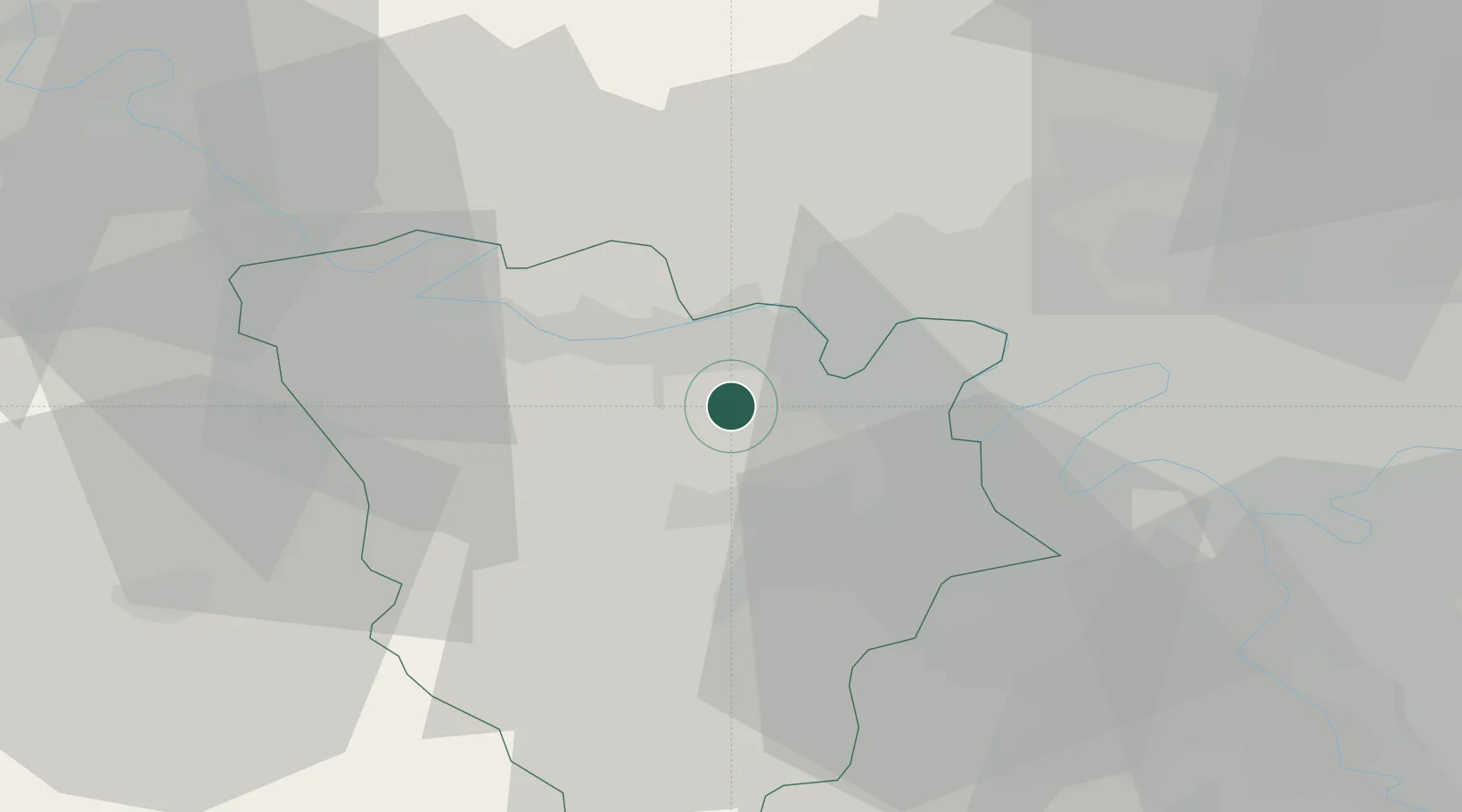
48.9167°, 1.9167°
1,344
Population
1
Transport functions
Transport Functions
Multimodal
Hub Profile
Place type
Populated place
Region
Île-de-France
Population
1,344
Time zone
Europe/Paris
Elevation
183 m
Location
Nearby Logistics Neighbours
Cities
- 1Morainvilliers2 km
- 2Bazemont4 km
- 3Chapet6 km
- 4Flins7 km
- 5Montreuil-la-Cambe7 km
Ports
- 1Port Of Rouen86 km
- 2Dieppe128 km
- 3Le Treport134 km
- 4Honfleur136 km
- 5Deauville142 km
Airports
Trade Zones
- 1ZFU Les Mureaux8 km
- 2ZFU Trappes17 km
- 3ZFU Mantes-la-Jolie17 km
- 4ZFU Sartrouville18 km
- 5ZFU Argenteuil23 km
DatabookThe Record of Consolidated Knowledge
France beyond logistics?