Transport Functions
Road
Multimodal
Hub Profile
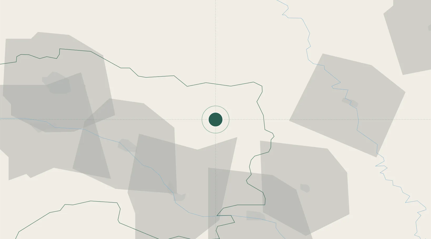
Place type
Populated place
Region
Grand Est
Population
292
Time zone
Europe/Paris
Elevation
159 m
Location
Nearby Logistics Neighbours
Cities
- 1Courtisols21 km
- 2Vanault-le-Châtel24 km
- 3L'Épine25 km
- 4Marson26 km
- 5Senuc26 km
Airports
Trade Zones
- 1ZFU Saint-Dizier51 km
- 2ZFU Reims60 km
- 3ZFU Ronde Couture74 km
- 4ZFU Woippy-Metz101 km
- 5ZFU Metz102 km
DatabookThe Record of Consolidated Knowledge
France beyond logistics?